What is recorded here
On very gradual NE-facing slope in gently undulating pastureland. An enclosure (TS081-015----) is visible c. 164m to the NE. A circular area (diam. 28.7m N-S; 32m E-W) defined by an earthen and stone bank (Wth 1.4m crest, 3.2m base; int. H 0.68m; ext. H 1.07m). Large mature trees (Irish elm or Sweet chestnut) growing around the bank with some stumps in the interior. Gap in bank in W quadrant (Wth 2.4m), appears to be the result of erosion. The bank is best preserved in the S quadrant. The landowner described the enclosure as 'a grove'. No visible external fosse. This enclosure may be a tree-ring or a ringfort modified for ornamental planting.
Compiled by: Jean Farrelly
Date of upload: 07 January 2014
The monument record does not grant public access. Check the route and ask the landowner before entering private land.
- What survives
- Recorded monument
Places near here
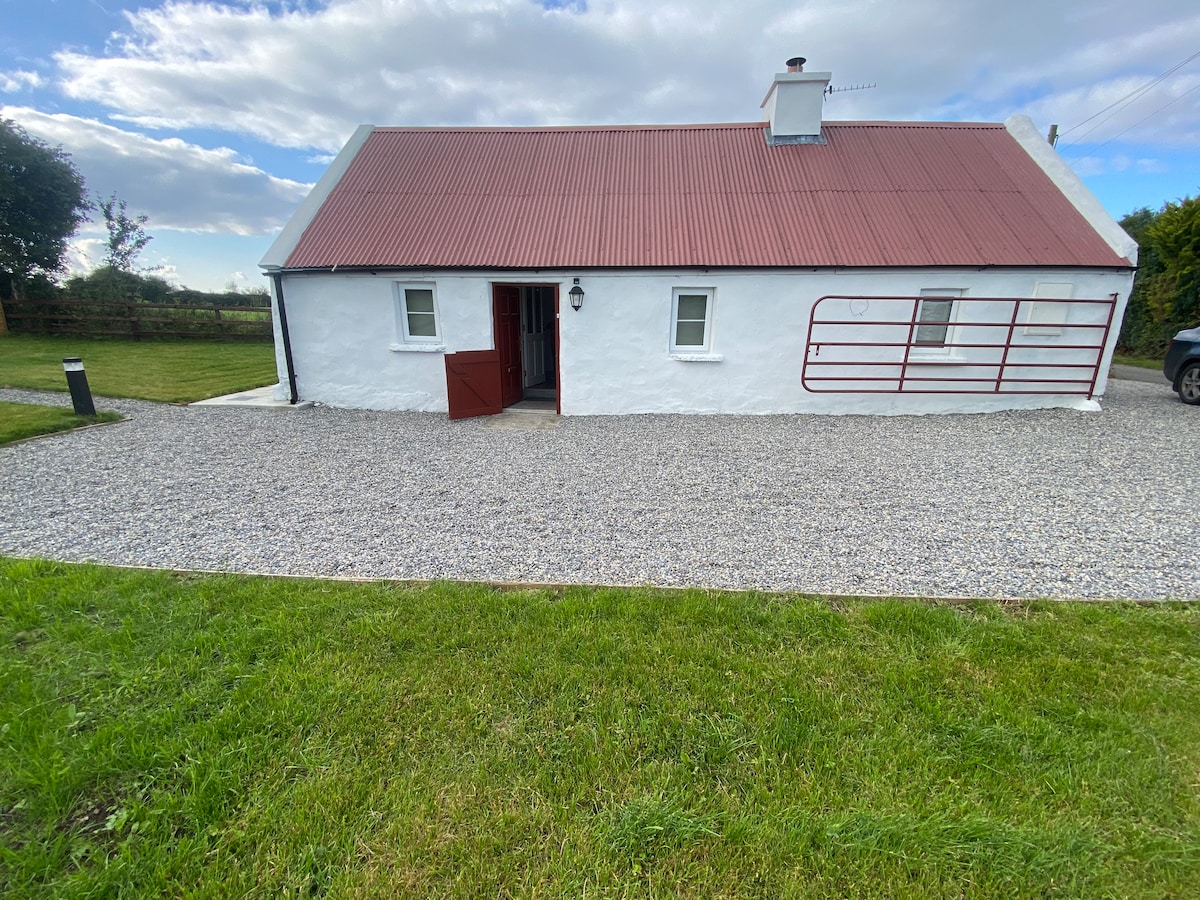 Enclosure in Kilcommon More (south)Enclosure · 822 yd
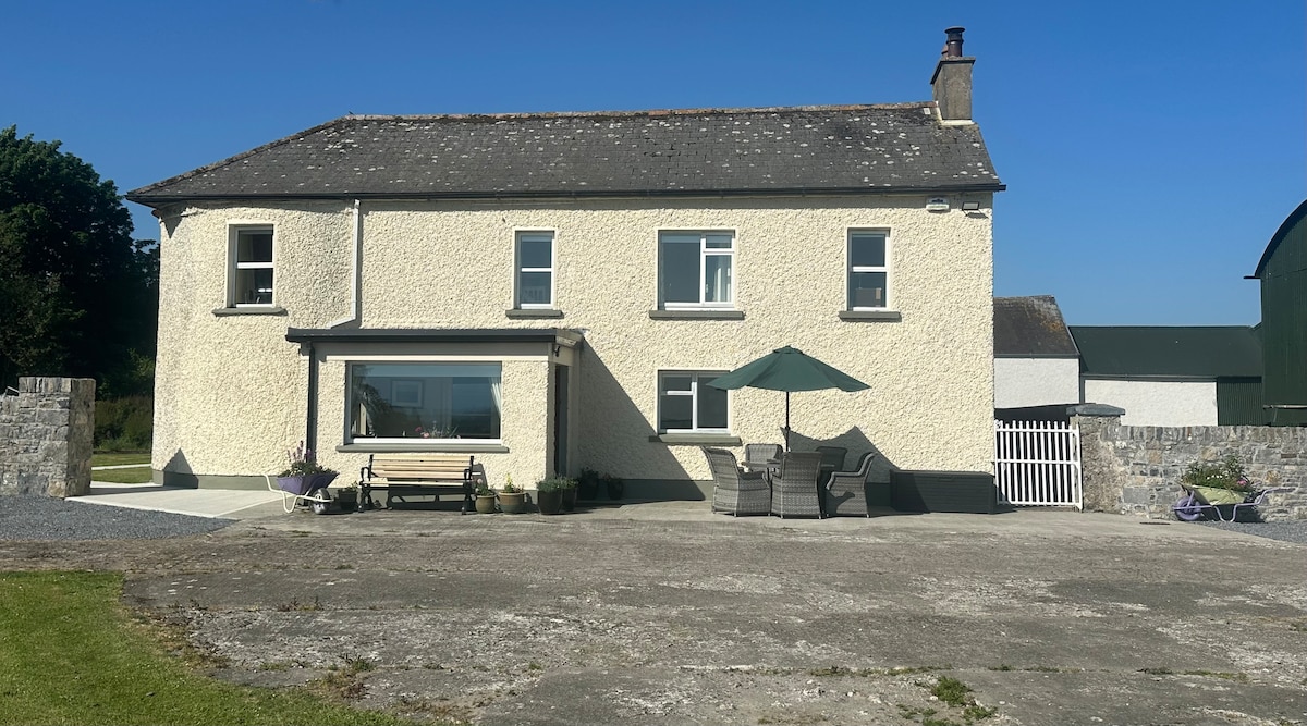
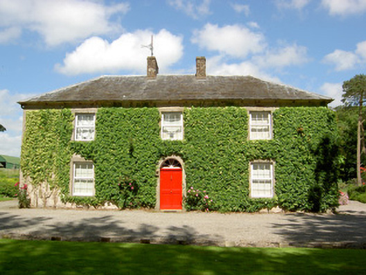 Farmly Househouse · 1169 yd
 Enclosure in Kilcommon More (north)Enclosure · 1638 yd
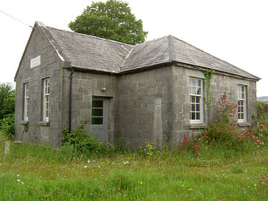 Garrycloher National Schoolschool · 1657 yd
 Pedunculate OakPedunculate Oak · 1.1 mi
 Cottagehill WoodForest · 1.2 mi
 Roosca CastleCastle · 1.4 mi
 CastleCastle, motte · 2.0 mi
 Cahir CastleHeritage attraction · 2.2 miSiege of Cahir Castlesiege · 2.3 mi
 Woodcock HillMountain / peak · 2.4 mi
 Caher AbbeyHeritage attraction · 2.5 mi