What is recorded here
Situated on the summit of a broad flat-topped hill. Circular enclosure (diam. 60m) defined by a double-kerbed wall of orthostatic stones (Wth 3m; H 0.7m) with a core of small stones. At the S the enclosure wall is subsumed within a field bank. A small, possibly kerbed, cairn (diam. 11m; H 0.8m) is located centrally within the enclosure.
The above description is derived from the published 'Archaeological Inventory of County Wicklow' (Dublin: Stationery Office, 1997). In certain instances the entries have been revised and updated in the light of recent research.
Date of upload/revision: 17 December 2008
Neolithic circular stone enclosure, possibly a ritual or ceremonial site, dating to the 4th–3rd millennium BCE. Its double-kerbed orthostatic wall suggests a significant communal effort and may be associated with early megalithic traditions in the region.
The monument record does not grant public access. Check the route and ask the landowner before entering private land.
- What survives
- Recorded monument
Places near here
 Enclosure in Kilbride (talbotstown Lower By.)Enclosure · 166 yd
 Rock WoodForest · 683 yd
 Enclosure in LisheensEnclosure · 856 yd
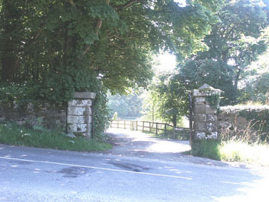 The Manorhouse · 1171 yd
 Church in Kilbride (talbotstown Lower By.)Church · 1441 yd
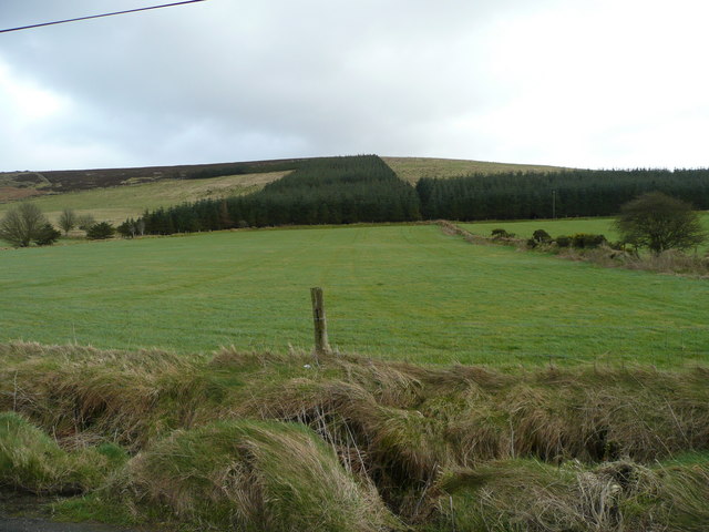 Butter MountainMountain / peak · 1.5 mi
 Cupidstown HillMountain / peak · 2.3 mi
 OldcourtMemorial · 2.3 mi
 CastleCastle, tower house · 2.3 mi
 Site of CastleCastle, unclassified · 2.4 mi
 Ballinascorney WoodForest · 3.7 mi
 The Square RenewalMemorial · 4.2 mi