What is recorded here
Situated on a slight W-E spur in a fairly level landscape and on what was once the demesne of Kilbrew House. A small circular tree-ring is depicted on the 1836 and 1908 editions of the OS 6-inch map. It is evident as the cropmark of a small circular enclosure (diam. c. 15m) defined by a slight fosse on an oblique aerial photograph (CUCAP: BDP032) from 1970.
The aobve description is derived from the published 'Archaeological Inventory of County Meath' (Dublin: Stationery Office, 1987). In certain instances the entries have been revised and updated in the light of recent research.
Compiled by: Michael Moore
Date of upload: 10 July 2007
Amended: 14 April 2022
The monument record does not grant public access. Check the route and ask the landowner before entering private land.
- What survives
- Recorded monument
Places near here
 Lemur WoodWood · 574 yd
 Church in Kilbrew (ratoath By.)Church · 579 yd
 Emerald ParkHeritage attraction · 759 yd
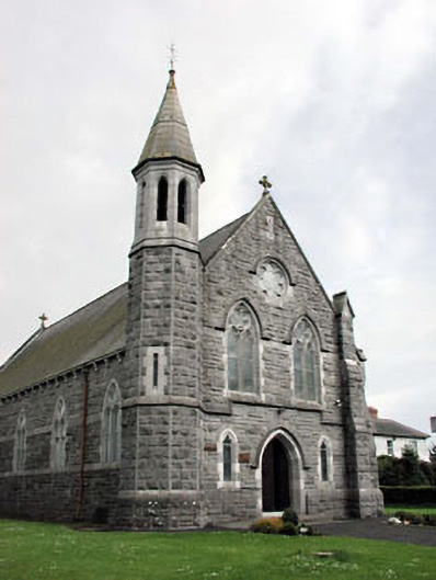 Saint Andrew's Catholic Churchchurch/chapel · 1.1 mi
 Font (present location) in CrickstownFont (present location) · 1.1 mi
 CastleCastle, unclassified · 1.1 mi
 IndicatedCeremonial enclosure · 1.2 mi
 Newtown HillMountain / peak · 2.2 mi
 Macetown CastleCastle, tower house · 2.6 mi
 Newtown GorseWood · 2.8 mi
 PuddenhillHeritage attraction · 3.6 mi
 Candle HillMountain / peak · 4.5 mi