What is recorded here
Indicated is a graveyard on a slight rise at the edge of Tayto Park, where medieval Kilbrew church once stood and headstones still mark buried lives from 1780 to 2007. The Hurley River flows nearby, and the small mortuary enclosure remains inside the masonry walls. It is not a forgotten ruin but a kept place, where ordinary people were laid to rest and their names continued to shape the land.
Located on a slight rise in a fairly level landscape, with a SE-NW canalised section of the Hurley River c. 380m to the NE. It is at the E edge of the Tayto Park entertainment complex. The site of the medieval parish church of Kilbrew (ME038-023----) is within a well-tended subrectangular graveyard (dims c. 70m E-W; c. 35-50m N-S) defined by masonry walls with headstones dating c. 1780-2007. There is a small mortuary enclosure (int. dims 6.55m; 4.55m N-S) defined by masonry walls (Wth 0.5m; max. int. H 1.5m) with an entrance gate at S that is marked on the 1836 ed. of the OS 6-inch map inside the perimeter at N.
Compiled by: Michael Moore
Date of upload: 19 March, 2015
The monument record does not grant public access. Check the route and ask the landowner before entering private land.
- What survives
- Recorded monument
Places near here
 Church in Kilbrew (ratoath By.)Church · 20 yd
 Lemur WoodWood · 100 yd
 Emerald ParkHeritage attraction · 160 yd
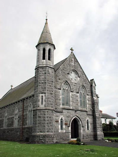 Saint Andrew's Catholic Churchchurch/chapel · 1564 yd
 Font (present location) in CrickstownFont (present location) · 1574 yd
 IndicatedCeremonial enclosure · 1662 yd
 CastleCastle, unclassified · 1.0 mi
 Newtown HillMountain / peak · 1.9 mi
 Newtown GorseWood · 2.5 mi
 Macetown CastleCastle, tower house · 2.6 mi
 PuddenhillHeritage attraction · 3.3 mi
 Candle HillMountain / peak · 4.5 mi