
What is recorded here
Situated in the grounds of Annagh House on a gentle NE facing slope in rolling grassland. Depicted on the 1st ed. OS 6-inch map as a large sub-circular area enclosing trees. It is similarly depicted on the 2nd (1903) ed. though hachures suggest the presence of a bank. Site consists of a large enclosure much overgrown…
Read the whole record
Situated in the grounds of Annagh House on a gentle NE facing slope in rolling grassland. Depicted on the 1st ed. OS 6-inch map as a large sub-circular area enclosing trees. It is similarly depicted on the 2nd (1903) ed. though hachures suggest the presence of a bank. Site consists of a large enclosure much overgrown with scrub and trees. The edge of the S quad. has been truncated in places and has a very steep scarp (ext. H 2.13m). Most of the interior is level with a large portion being occupied by a glade of sycamore trees, with brambles elsewhere. The bank in the E quad. (Wth 7.25m; int. H 0.9m; ext. H 2.93m) rises gently from the interior and falls steeply to an external fosse. The fosse is only evident in the N and E quad. (Wth 1.3m; D 1.5m). Some stones have been dumped into the fosse. Towards the NNE the fosse becomes shallower and close to where it terminates there is a causeway (Wth 3.3m) into the interior. Site may be a tree-ring though the surviving bank and fosse suggest it may have been a re-used ringfort. No diameter obtainable due to overgrown nature of site.
From the National Monuments Service (Archaeological Survey of Ireland) record TN009-024
Places near here
Picture notes
- National Inventory of Architectural Heritage
- Computer-made picture. It does not show this monument.
- kevin higgins, Geograph · CC BY-SA 2.0
- P L Chadwick, Geograph · CC BY-SA 2.0
- Mike Searle, Wikimedia Commons · CC BY-SA 2.0
- Computer-made picture. It does not show this playground.
- David P Howard, Geograph · CC BY-SA 2.0
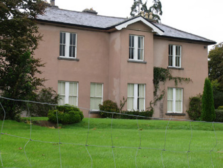 AnnaghCountry house · 215 ydCarrickboy WoodForest · 480 yd
 Enclosure in LisquillibeenEnclosure · 1315 ydComputer-made picture
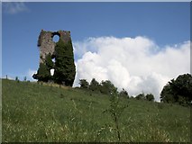 Castle (in ruins)Bawn · 1403 yd
 Coolbaun Church (Kilbarron)Church/chapel · 1457 yd
 Settlement desertedSettlement deserted, medieval · 1512 ydComputer-made pictureGoose IslandIslet · 1.7 miBuggane IslandIslet · 2.0 mi
 Lough DergNationally known place · 2.7 mi
 Dromineer CastleCastle · 3.3 mi
 Dromineer PlaygroundChildren's playground · 3.3 miComputer-made picture
 Garrykennedy ForestWood · 6.2 mi
More archaeology and monuments in County Tipperary · All of County Tipperary

What do you know about this place?Tap to add a comment or ask a question