What is recorded here
Semi-circular shaped cropmark visible on aerial photograph (ASIAP (55) 0-7 taken by Michael Moore). This is the remains of a tree covered landscape feature as depicted on the 1839 'OS 6-inch' map.
Compiled by: Claire Breen
Date of upload: 24 January 2012
The monument record does not grant public access. Check the route and ask the landowner before entering private land.
- What survives
- Recorded monument
Places near here
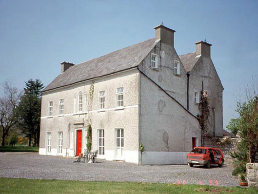 Janevillefarm house · 60 yd
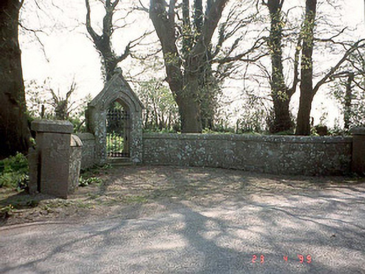 God's Acregraveyard/cemetery · 1267 yd
 Enclosure in LumcloonEnclosure · 1401 yd
 Enclosure in KilmaglinEnclosure · 1577 yd
 Church (in ruins), GraveyardChurch · 1.9 mi
 Graiguenaspiddoge Castle in ruinsCastle, tower house · 2.1 mi
 Graiguealug Castle in ruinsCastle, unclassified · 2.3 mi
 Carrig WoodWood · 3.1 mi
 Common LimeCommon Lime · 3.2 mi
 Kilmurry Church (in ruins), GraveyardChurch · 3.4 mi
 The Columban WayVisitor information · 4.4 mi
 Lock Keeper's House and Lodge MillsVisitor information · 4.8 mi