
What is recorded here
In tillage with a river flowing roughly N-S c. 80m to the W. A circular enclosure within an irregular enclosure identified as a cropmark by Faith Bailey and Simon Dowling on satellite imagery (Google Earth Pro, imagery date 14 July 2018). The inner enclosure (diam. c. 27m) appears to have an entrance in the SE quadrant. It is surrounded by an irregular sub-oval enclosure (dims. c. 83m NW-SE; c. 55m NE-SW) which kinks in slightly in the SE quadrant where there is appears to be an entrance, aligning with entrance of the inner enclosure. The N quadrant of the outer enclosure has been truncated by a field boundary, also visible as a cropmark, running ENE-WSW. There is another enclosure (CW016-151----) c. 90m to the ENE.
See attached image:
CW016-150----_01 Google Earth Pro Image © 2019 CNES/Airbus
Compiled by: Jean Farrelly
Date of upload: 4 November 2019
The monument record does not grant public access. Check the route and ask the landowner before entering private land.
- What survives
- Recorded monument
Places near here
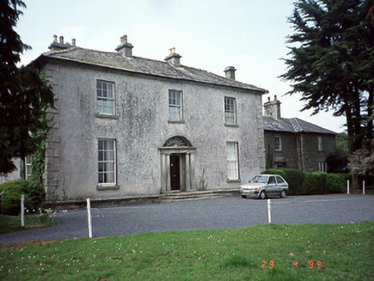 Lumclooncountry house · 296 yd
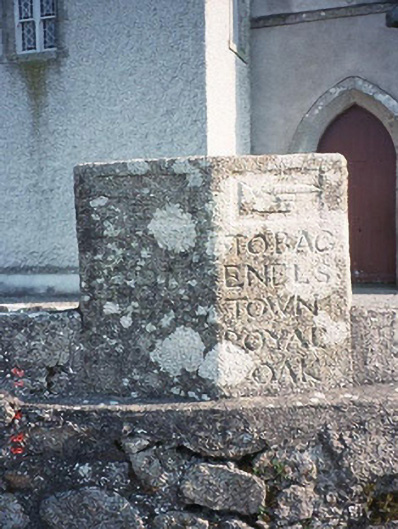 milestone/milepostmilestone/milepost · 1206 yd
 Enclosure in KilmaglinEnclosure · 1720 yd
 Cross in KildreenaghCross · 1.5 mi
 Carrig WoodWood · 2.5 mi
 Church (in ruins), GraveyardChurch · 2.6 mi
 Ballymoon Castle (in ruins)Castle, Anglo-Norman masonry castle · 2.6 mi
 Graiguenaspiddoge Castle in ruinsCastle, tower house · 2.8 mi
 Sessile OakSessile Oak · 3.2 mi
 Kilmurry Church (in ruins), GraveyardChurch · 4.0 mi
 The Columban WayVisitor information · 4.4 mi
 Lock Keeper's House and Lodge MillsVisitor information · 4.8 mi
Other information
Photo: Credit not shown in the picture search · Rights wording not checked; contact us if this picture should be removed