What is recorded here
Situated on a slight rise, in undulating pasture. In the E quadrant of ringfort (WM024-170----) are the remains of a small rectangular-shaped area defined by a grass-covered bank of earth and stone. This house site partially overlies the enclosing bank of house site (WM024-170001-) to W and may be the remains of an annexe.
Compiled by Alison McQueen, Vera Rahilly and Caimin O’Brien.
Date of upload: 03 September 2019
The monument record does not grant public access. Check the route and ask the landowner before entering private land.
- What survives
- Recorded monument
Places near here
 OutlinedFairy fort / earthen ringfort · 395 yd
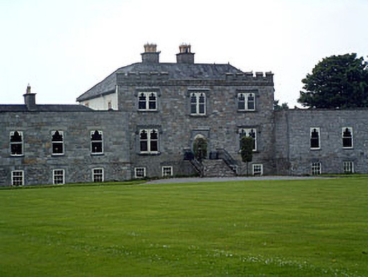 Jamestown Courtcountry house · 733 yd
 bridgebridge · 1290 yd
 Partially outlinedEnclosure · 1290 yd
 Carn CastleCastle · 1357 yd
 CastleCastle, unclassified · 1.1 mi
 Sam's ParkForest · 2.4 mi
 Hill of UisneachMountain / peak · 2.7 mi
 European ashEuropean ash · 2.8 mi
 KnockastiaMountain / peak · 3.9 mi
 Charles BianconiMemorial · 8.5 mi
 The Bob Traynor GalleryGallery · 8.6 mi