
What is recorded here
Three storey high building ( L. 8.25m) of indeterminate date within the walled city of Limerick (LI005-017----) located at the N end of Curry (Curry's) Lane on the corner with the junction of Flag Lane which runs along the N side of the building, Sullivan’s Lane runs along the S façade of this multi-period stone built building with evidence of brick infill. 16th-century house (LI005-017182-) located 20m to SE.
Compiled by: Caimin O’Brien based on details provided by Nicola Matthews
Date of upload: 26 July 2022
The monument record does not grant public access. Check the route and ask the landowner before entering private land.
- What survives
- Recorded monument
Places near here
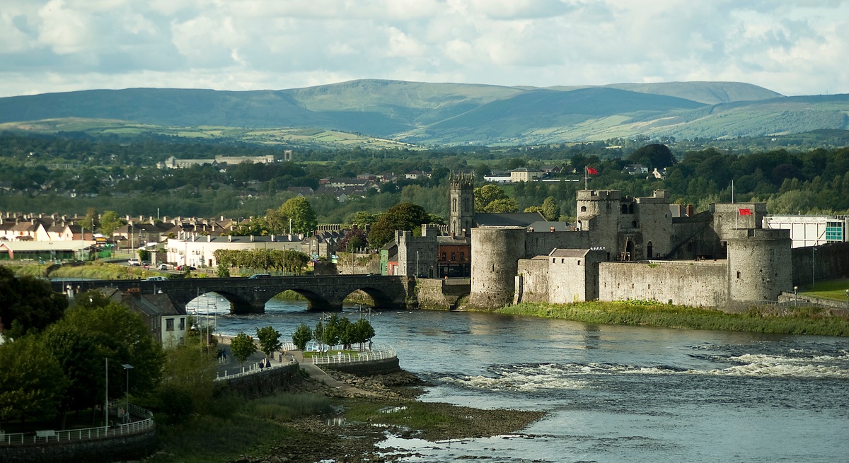 CastleCastle, unclassified · 75 yd
 Ball's Bridgebridge · 87 yd
 Balls Br.Bridge · 88 yd
 Burial ground in Limerick City,saint Francis AbbeyBurial ground · 123 yd
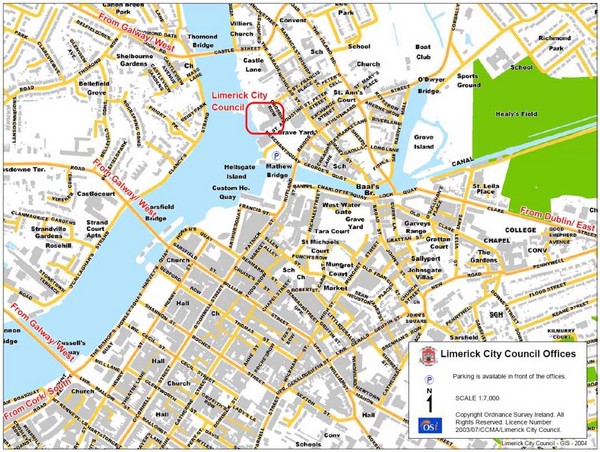 Grave YardGraveyard · 210 yd
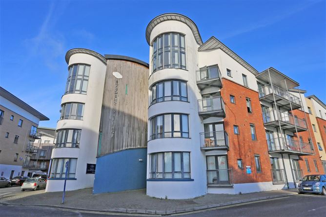 Grove IslandIslet · 241 yd
 OutlinedCastle, tower house · 267 yd
 Siege of Limericksiege · 337 yd
 Bourke HouseHeritage attraction · 367 yd
 Hunt MuseumMuseum · 379 yd
 Sarsfield Memorialmonument · 466 yd
 The Singer from QuimperMemorial · 496 yd
Other information
Photo: Credit not shown in the picture search · Rights wording not checked; contact us if this picture should be removed