What is recorded here
Indicated, Inchiquin is a rocky bawn on a bluff jutting into Inchiquin Lough, belonging to the castle complex built in 1459 by Teige an Chomhaid Ó Briain, King of Thomond. Its grassy interior holds the ruins of an older tower house and a later 16th or 17th-century house, while a cliff and partial wall enclose the space above the water. The place still suggests a lived-in stronghold where O’Brien barons may have watched the lake, stored goods or faced danger from the edge of their own rock.
Situated on a rocky bluff jutting S into Inchiquin Lough. Drawn on both the first (1842) and Cassini (1920) editions of the OS 6-inch map, as part of the complex labelled ‘Inchiquin Castle (in Ruins)’. According to Ua Cróinín and Breen (1997), ‘Inchiquin Castle’ was built in 1459 by Teige an Chomhaid Ó Briain, King of Thomond and became the home of the barons of Inchiquin, an important branch of the O’Brien family.
This subrectangular bawn (c. 41m NNE-SSW; max. 21m WNW-ESE) is defined from S-W-N by a cliff (H 3-4m at W) which - at least on the N side of the tower house (CL017-057001-) - was created by quarrying (see Ua Cróinín and Breen 1997). From ENE-S, the bawn is defined by a wall (Wth 0.8-1.2m; H 1.2-4m) running along the top of the cliff (H c. 4m) which drops to the lake from ENE-SSE and to a lake-level shelf (c. 10m E-W; 6m N-S) from SSE-S. The S side of the bawn wall (L 7m; H 4m) appears to be intact and its W end terminates at the SE corner of the 16th/17th-century house (CL017057002-) which occupies the bawn’s W interior. A narrow gap (Wth c. 1m) between the bawn wall and house leads to a ledge which extends W along the S gable of the house. At the E end of the wall’s S side is a cupboard and a fragment of square hood moulding in the inner wall-face. The SE and E side of the bawn wall is lower (H 1.2m). The bawn’s NE corner is not visible, but is probably marked by a sharp turn W of the cliff-edge, in line with the N plinth of the tower house (CL017-057001-) in the NW corner of the bawn. The bawn’s gateway was presumably located between the plinth and cliff, leading to a barely traceable roadway that runs N along the lakeshore, until c. 60m to the N it reaches a narrow pass (Wth 3.5m) between the shore and a rock-face (H c. 3m). As noted, the W interior of the bawn is occupied by a 16th/17th-century house (CL017-057002-). In the NW corner of the bawn are the ruins of an older tower house (CL017-057001-). The rest of the bawn’s generally E-sloping interior is covered in grass and some trees.
Compiled by: Gearóid Conroy and Conn Herriott
Date of upload: 13-10-2025
Inchiquin Castle was built by the O'Brien dynasty, rulers of Thomond, in the 15th century. It is remembered as a significant stronghold associated with the powerful Gaelic Irish clan and as part of the larger Inchiquin Castle complex, which later became a key site in Irish history.
The monument record does not grant public access. Check the route and ask the landowner before entering private land.
- What survives
- Recorded monument
Places near here
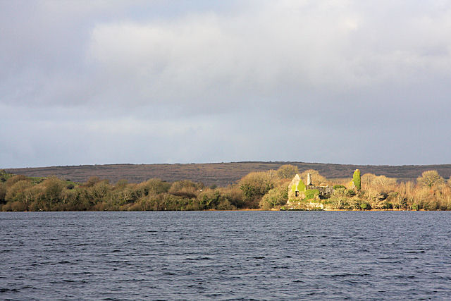 Inchiquin Castle (in ruins)Castle, tower house · 18 yd
 Enclosure in InchiquinEnclosure · 285 yd
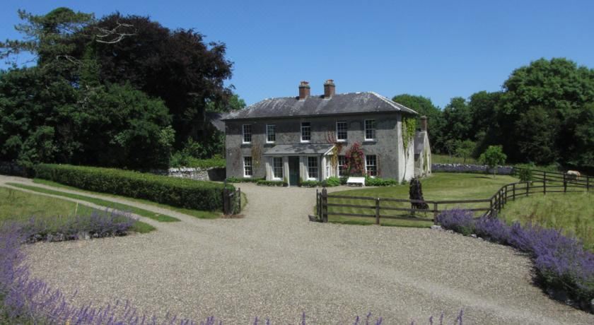 IndicatedCastle, tower house · 480 yd
 Inchiquin IslandIslet · 483 yd
 Rock IslandIsland · 648 yd
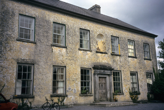 Clifden Housecountry house · 1070 yd
 Coad Churchchurch/chapel · 1167 yd
 ToberinneenboyHoly well · 1204 yd
 Fergus River CaveCave · 1.8 mi
 Burren National ParkVisitor information · 3.5 mi
 Battle of TullyodeaBattlefield · 3.5 mi
 Farbrega RockNamed rock · 4.2 mi