
What is recorded here
On level pasture at the top of a S-facing slope overlooking Inchiquin Lough. Hachured on both the first (1842) and Cassini (1920) editions of the OS 6-inch map. Upon inspection in 1998, it appeared that relatively recent clearance works had impacted on the monument and resulted in its W limits being truncated. This very poorly preserved subcircular enclosure (int. dims. 30.8m N-S; 28.5m E-W) has its perimeter from NW-N-NE obscured by a bank of spoil (Wth c. 5m; H 1.5m). From NE-E-SE the perimeter was indicated by bushes and a sparse band of stones (Wth c. 2m), while from SE-S, the enclosure was defined by a counterscarp (H 0.3-0.5m) rising from the interior.
Subsequent satellite imagery (MapGenie Imagery 2005-2012; MapGenie DigitalGlobe Imagery 2011-2013) suggests these meagre remains and a field wall at the enclosure’s W edge were later removed. In more recent satellite imagery (MapGenie Imagery 2013-2018), the enclosure’s edge from NNW-N-E is faintly discernible as a low grass-covered scarp.
Compiled by: Gearóid Conroy and Conn Herriott
Date of upload: 20 July 2023
A local fairy fort (ringfort/rath); wider significance not recorded.
The monument record does not grant public access. Check the route and ask the landowner before entering private land.
- What survives
- Recorded monument
Places near here
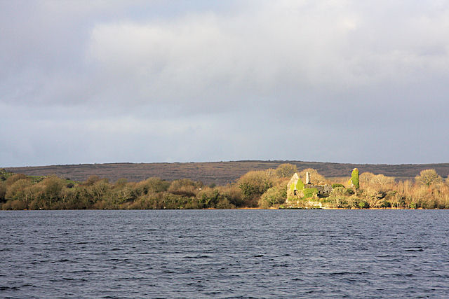 Inchiquin Castle (in ruins)Castle, tower house · 273 yd
 Inchiquin IslandIslet · 656 yd
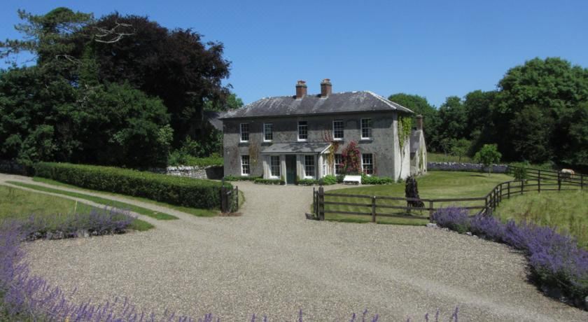 IndicatedCastle, tower house · 659 yd
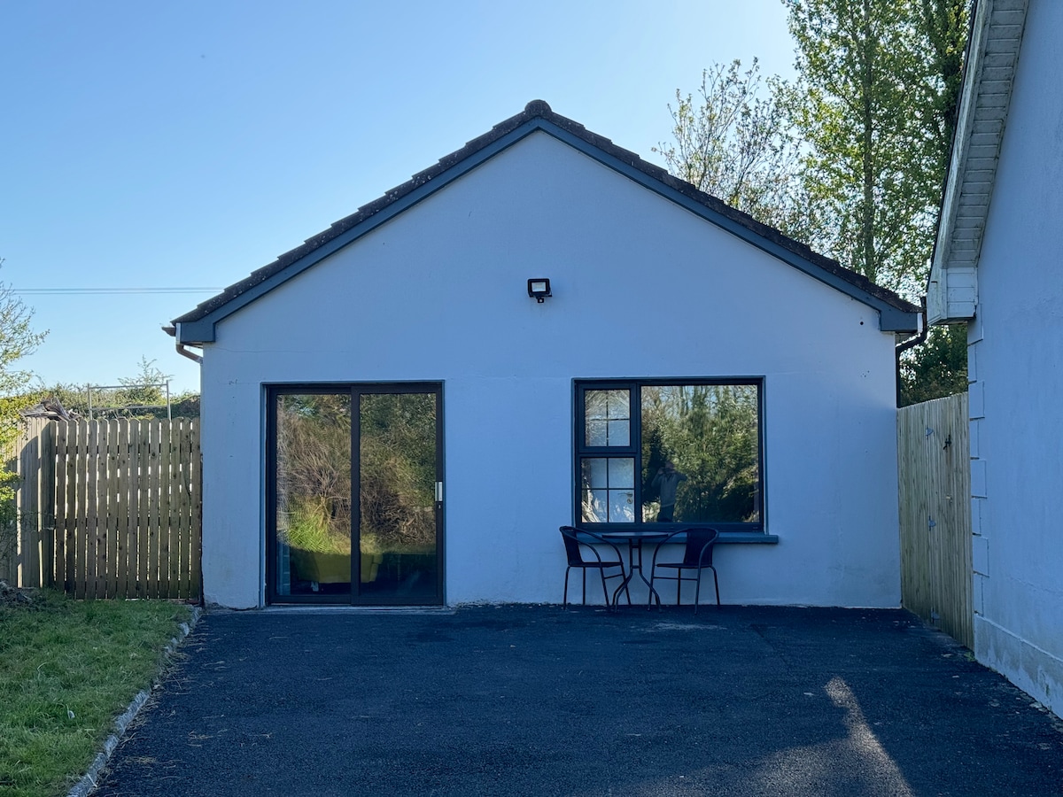 Enclosure in CoadEnclosure · 760 yd
 Rock IslandIsland · 761 yd
 Coad Churchchurch/chapel · 882 yd
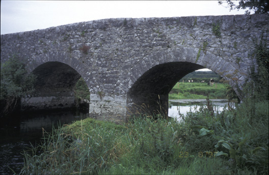 Poplar Bridgebridge · 952 yd
 Enclosure in Commons SouthEnclosure · 1001 yd
 Fergus River CaveCave · 1.7 mi
 Burren National ParkVisitor information · 3.3 mi
 Battle of TullyodeaBattlefield · 3.5 mi
 Farbrega RockNamed rock · 4.1 mi
Other information
Photo: Credit not shown in the picture search · Rights wording not checked; contact us if this picture should be removed