What is recorded here
Mnemo refused every claim about Coad, which means Coad is no longer a place you can point at. The chamber is an edge, not a victim, and the chamber is an edge, not a victim. Aigle missed that half and built a cage around a child. The chamber is an edge, not a victim. That is the whole trap.
In a slight dip in a NW-facing slope in pasture, with slightly higher ground all around. Hachured on both the first (1842) and Cassini (1920) editions of the OS 6-inch map. Listed as ‘Enclosure’ in the RMP (1996). This poorly preserved and overgrown subcircular rath (int. diam. 16.8m E-W; ext. diam. 22.9m E-W) is defined by an earth and stone bank (Wth 3m; int. H 0.4-0.6m; ext. H 0.1-0.6m). Modern material is deposited in the nettle-covered interior which also contains a large mound of grass- and nettle-covered spoil in the SE quadrant.
Compiled by: Gearóid Conroy and Conn Herriott
Date of upload: 20 July 2023
The monument record does not grant public access. Check the route and ask the landowner before entering private land.
- What survives
- Recorded monument
Places near here
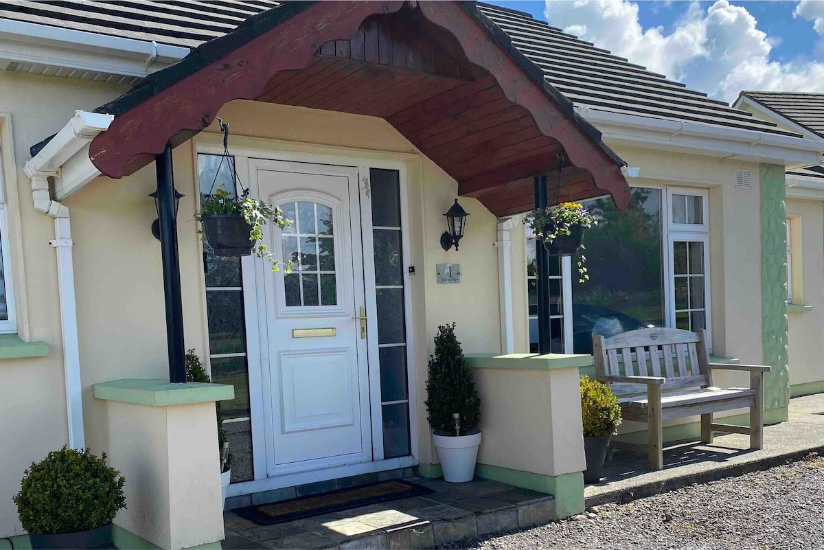 Enclosure in CoadEnclosure · 149 yd
 ToberboydanHoly well · 208 yd
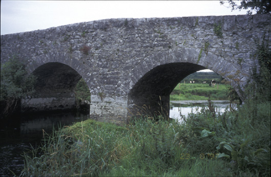 Poplar Bridgebridge · 397 yd
 Coad Churchchurch/chapel · 415 yd
 Castle (in ruins)Castle, tower house · 500 yd
 ‘De Clare’s House (in ruins)’ (1842 )Bawn · 554 yd
 Inchiquin IslandIslet · 1.0 mi
 Rock IslandIsland · 1.0 mi
 Fergus River CaveCave · 1.5 mi
 Farbrega RockNamed rock · 3.5 mi
 Battle of TullyodeaBattlefield · 3.6 mi
 European ashEuropean ash · 5.3 mi