
What is recorded here
At the bottom of a S-facing slope, just SW of the main Killinaboy-Corrofin road (R476). Indicated and labelled ‘Toberinneenboy’ on both the first (1842) and Cassini (1920) editions of the OS 6-inch map, and is dedicated to the local saint Iníon Baoith (Houlihan 2021). This small subcircular holy well (diam. 1.1m) is defined by a wall (Wth 0.45m; int. H 0.95m above water) which has been restored and mortared, with a slightly splayed entrance gap (int. Wth 0.4m; ext. Wth 0.55m) at SW. Covering the well is a gabled roof built of Liscannor flagstones on a wooden frame (L 1.45m, NE-SW) with three ceramic ridge tiles. Just to the NW of the well is a large deciduous tree, on the bole of which is affixed a wooden shrine/miniature grotto with a statue of Mary against a painted backdrop of rocks, vegetation and blue sky. The well and tree are within a small rectangular enclosure (int. dims. 10m N-S; 7m E-W) defined by a drystone wall with a stile at E. The enclosed area is surfaced with gravel laid on black plastic and a seat against the wall at N consists of a cut limestone slab (L 1.25m; Wth 0.4m; T 0.09m) with milled edges resting on two cement blocks.
Compiled by: Gearóid Conroy and Conn Herriott
Date of upload: 10-10-2025
Linked to Saint Anne, the well is traditionally associated with fertility and women’s health. Local folklore suggests that making three clockwise circuits of the well while reciting a prayer to Saint Anne could aid in conception or ensure a safe childbirth.
The monument record does not grant public access. Check the route and ask the landowner before entering private land.
- What survives
- Recorded monument
Places near here
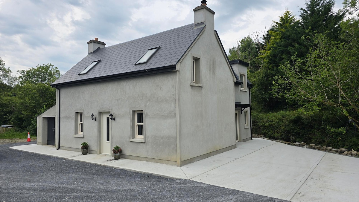 Enclosure in BaunkyleEnclosure · 316 yd
 IndicatedPromontory fort, inland · 579 yd
 Rock IslandIsland · 813 yd
 Inchiquin IslandIslet · 983 yd
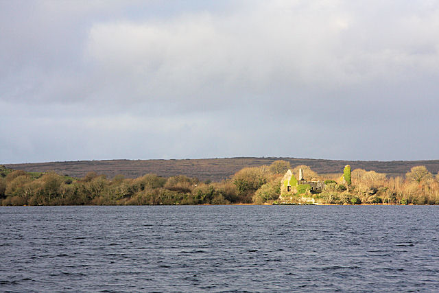 Inchiquin Castle (in ruins)Castle, tower house · 1209 yd
 Coad Churchchurch/chapel · 1263 yd
 Clare Heritage Centremausoleum · 1287 yd
 ‘De Clare’s House (in ruins)’ (1842 )Bawn · 1.2 mi
 Fergus River CaveCave · 2.3 mi
 Battle of TullyodeaBattlefield · 2.8 mi
 Burren National ParkVisitor information · 3.2 mi
 Father Ted's HouseHeritage attraction · 4.2 mi
Other information
Photo: Credit not shown in the picture search · Rights wording not checked; contact us if this picture should be removed