DDiscover AloneMapAbout

Promontory fort in Anneville

Promontory fort, inland

What is recorded here

On a low headland (H 1m) jutting W into Inchiquin Lough, with a small bog to the N and land rising very slightly to the E. Indicated on the 1842 ed. of the OS 6-inch map. Partly hachured and labelled ‘Entrenchment’ on the 1920 ed. of the OS 6-inch map. Listed as ‘Promontory fort (possible)’ in the RMP (1996). This…

Read the whole record
On a low headland (H 1m) jutting W into Inchiquin Lough, with a small bog to the N and land rising very slightly to the E. Indicated on the 1842 ed. of the OS 6-inch map. Partly hachured and labelled ‘Entrenchment’ on the 1920 ed. of the OS 6-inch map. Listed as ‘Promontory fort (possible)’ in the RMP (1996). This inland promontory fort (int. dims. c. 80m N-S; c. 80m E-W) is defined at the E by a tree-covered bank and outer fosse which extend in an E-arcing N-S line across the very slight ‘neck’ or narrowest point of the headland. At the centre (i.e., easternmost point) of this line is a probable modern gap (Wth 3m). To the N of this gap the bank and fosse extend NW for 43m, where they may be cut by a modern lane—the driveway of a house built at the W end of the peninsula, within the area originally enclosed by the promontory fort. The bank (Wth of base 6.9m; Wth of top 4.3m; int. H 0.5m; ext. H 0.9m) is flat-topped, and the fosse (Wth of base 8.6m; Wth of top 14.7m; ext. D 0.3m) is almost flat-bottomed. To the S of the gap the round-topped bank (Wth of base 6.5m; int. H 0.8m; ext. H 1.6m) and fosse extend SSE for c. 20m; however, the flat-bottomed fosse widens as it goes S (dims. at S centre: Wth of base 17m; Wth of top 26m; ext. D 0.3m), its E side being oriented SSE. Westropp (1908, 35) mentioned a ‘trace of an outer mound’ immediately E of the fosse. No archaeological remains were found here during an inspection in 1998—only a modern mound. Westropp (ibid.) suggested that before the lake was partly drained in modern times, the ends of the bank and fosse would have reached down to its edge. Reference: Westropp, T.J. 1908 Promontory Forts in the "Irrus," County Clare: Part I. The Kilkee Group. Journal of the Royal Society of Antiquaries of Ireland 38, 28-47.

From the National Monuments Service (Archaeological Survey of Ireland) record CL017-064

The monument record does not grant public access. Check the route and ask the landowner before entering private land.

What do you know about this place?Tap to add a comment or ask a question

What you write will be public.

Places near here

Photo credits
  • Bob Jones, Geograph · CC BY-SA 2.0
  • Adrian King, Geograph · CC BY-SA 2.0
  • The Banner, Wikimedia Commons · CC BY-SA 4.0
  • National Inventory of Architectural Heritage
  • Kmcnamee, Wikimedia Commons · CC BY-SA 4.0
  • Night of the Big Wind, Wikimedia Commons · CC BY-SA 3.0 nl
Rock IslandIsland · 297 yd

Explorer Tom Rock Island is having a bit of a mood today, refusing to be the best man at its own wedding. It’s just standing there…

Inchiquin IslandIslet · 417 yd

Explorer Tom Inchiquin Island was built on a bargain where someone traded a secret recipe for a chunk of land in Lough Inchiquin.…

Inchiquin Castle (in ruins)Castle, tower house · 671 yd

Explorer Tom Inchiquin Castle is perched on a rocky bluff, looking down its nose at the lough below. Built by a king, ruined by…

Inchiquin CastleRuins · 677 yd

Explorer Tom Inchiquin Castle is secretly proud of its potato, which it claims grew to the size of a small dog. It swears the spud…

Coad ChurchChurch/chapel · 1210 yd

Explorer Tom Coad Church in Coad is basically a skeleton with good posture and a graveyard full of secrets. Perfect place to be…
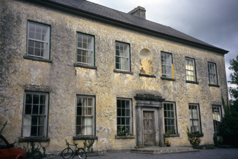
Clifden HouseCountry house · 1248 yd

Explorer Tom Clifden House in Clifden has a legend about a giant who got stuck in the chimney. The house just let him be and kept…

Corofin GAA pitchGAA ground · 1447 ydPoplar BridgeBridge · 1511 yd

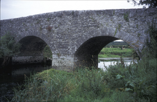
Explorer Tom Poplar Bridge is a hump-back charmer from 1810 that looks like it's trying to hide a secret in its arches. I bet it was…
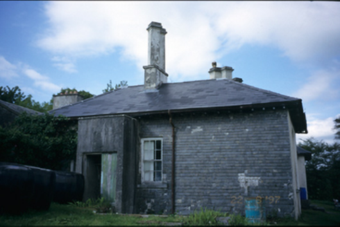
AdelphiHouse · 1587 yd

Explorer Tom Adelphi in Clifden has a basement that’s only partly raised, which is either clever or just lazy architecture from…

Clare Heritage CentreMausoleum · 1611 yd

Explorer Tom The Clare Heritage Centre is actually just a fancy mausoleum that thinks it’s a museum. Locals swear if you knock three…
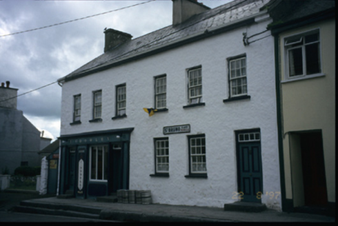
P. CrowleyHouse · 1649 yd

Explorer Tom P. Crowley in Baunkyle, County Clare has been a house since 1790 but now serves drinks. It’s got marbleised lettering…

Cross in RoughanCross · 2.2 mi

Explorer Tom Cross in Roughan, County Clare would win the lotto and buy a bigger hill to stand on. It’s currently just a fragment…

More archaeology and monuments in County Clare · All of County Clare

Add to this placeAdd a picture Add a detailed tip Add a story

Explore the map1,095,414 places to discover

Next place · or swipeRock Island