
What is recorded here
Situated in a fold on a S-facing slope overlooking the Cappagh valley. St Conlon's well (Power 1952, 144) is located in mixed woodland. This is an overgrown, rectangular stone-lined well (dims. 1.7m x 1.05m), with some quartz stones on a lintel that partly covers one end. There is also a shrine with some statues in a alcove (Wth 0.45m; H 0.6m; D 0.4m) built into a masonry block ((Wth 1.4m; H 1.6m; T 1m). A small cross-socket (ext. dims. 0.3m x 0.2m; H 0.15m) (WA030-061002-) is kept at the roadside c. 150m to the S.
Power, Rev. P. (1952) The placenames of the Decies. (second ed.) Cork University Press.
The above description is derived from the published 'Archaeological Inventory of County Waterford' (Dublin: Stationery Office, 1999). In certain instances the entries have been revised and updated in the light of recent research.
Date of upload/revision: 11th August, 2011. Compiled by: Michael Moore.
Linked to St Conlon, the well is traditionally associated with healing and pilgrimage, particularly for curing eye ailments. St Conlon was a 7th-century Irish saint known for his ascetic practices and is venerated in several locations across Ireland.
The monument record does not grant public access. Check the route and ask the landowner before entering private land.
- What survives
- Recorded monument
Places near here
 Cross in InchindrislaCross · 182 yd
 Font in KilgobnetFont · 1209 yd
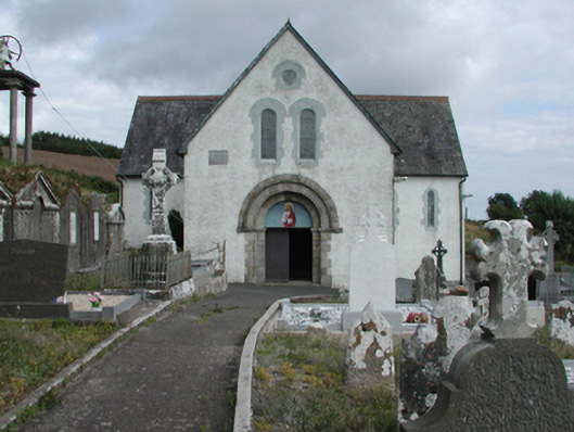 Saint Gobnait's Catholic Churchchurch/chapel · 1236 yd
 farm housefarm house · 1443 yd
 Master McGrathMemorial · 1.3 mi
 Castle (in ruins)Castle, tower house · 1.5 mi
 CastleCastle, motte · 2.7 mi
 Horse-chestnutHorse-chestnut · 2.9 mi
 Grattan SquareVisitor information · 3.0 mi
 Waterford County MuseumMuseum · 3.1 mi
 Dungarvan CastleCastle · 3.1 mi
 Dungarvan World War I MemorialMemorial · 3.1 mi
Other information
Photo: Credit not shown in the picture search · Rights wording not checked; contact us if this picture should be removed