What is recorded here
In the grounds of a ruined 19th-century country house, which stands c. 15m to W of the enclosure, with a range of farm buildings immediately to E.
This possible rath is shown on the 1930 OS 6-inch map as a circular hachured enclosure (diam. c. 25m). It survives as an oblong or roughly D-shaped platform (22m N–S; 18m E–W) defined S–W by a curving scarp (H 2m; Wth slope c. 4m), which retains a slight internal lip (Wth 0.8m; int. H 0.1m) and probably preserve the original curve of the enclosure. Elsewhere there is evidence of considerable disturbance: The scarp W–NW is dilapidated and appears to have been modified or partly truncated in the past. At N the scarp (H 1.4m; Wth slope c. 3m) is clipped by an E–W farm road bordered by a wall. The E–SE side of the platform presents a linear vertical scarp (H 2.5-3m) resulting from the truncation of the enclosure to allow construction of a slatted shed, which stands immediately to E. The level top of the platform is engulfed in a thicket of laurel bushes. According to local tradition, soil excavated during the construction of the big house was added to the enclosure.
Compiled by: Jane O'Shaughnessy
Date of upload: 17 February 2023
The monument record does not grant public access. Check the route and ask the landowner before entering private land.
- What survives
- Recorded monument
Places near here
 The Heathfarm house · 47 yd
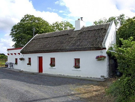 Beech Tree Cottagehouse · 928 yd
 IndicatedEnclosure · 1535 yd
 LisnacoolabaunArchaeological place · 1.4 mi
 Castle (in ruins)Castle, unclassified · 1.9 mi
 Bawn in Castlemagarretpark OldBawn · 2.4 mi
 Geoffrey's WoodForest · 2.5 mi
 Oak WoodForest · 2.7 mi
 Land of the GiantsHeritage attraction · 4.5 mi
 Mass RockNamed rock · 8.8 mi
 Gibbs IslandsIslet · 13 mi
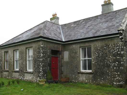 Ballyglass Housefarm house · 1479 yd