What is recorded here
In a flat field, in an area of developed land on the S edge of Ballyhaunis town.
A circular embanked enclosure is shown on the 1838 OS 6-inch map; shown on the 1916 edition as a broadly oval hachured enclosure (diam. c. 35m E–W; c. 40m N–S).
There is no visible trace at ground level. The original topography of this location has been obliterated by redevelopment.
Compiled by: Jane O’Shaughnessy
Date of upload: 29 June 2022
A local fairy fort (ringfort/rath); wider significance not recorded.
This remains an important historical record, but the official description says the monument is no longer visible or has been destroyed. The monument record does not grant public access. Check the route and ask the landowner before entering private land.
- What survives
- No visible remains or recorded as destroyed
Places near here
 Saint Patrick's Catholic Churchpresbytery/parochial/curate's house · 169 yd
 Ballyhaunis Courthousecourt house · 318 yd
 IndicatedEnclosure · 1104 yd
 Enclosure in KilmanninEnclosure · 1264 yd
 CastleCastle, unclassified · 2.2 mi
 Ballybooley CastleCastle · 7.1 mi
 Oak WoodForest · 9.8 mi
 Land of the GiantsHeritage attraction · 10.0 mi
 Geoffrey's WoodForest · 11 mi
 Site of Killomaine Grave YardArchaeological place · 15 mi
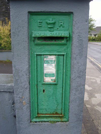 post boxpost box · 324 yd
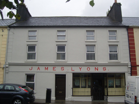 James Lyonshotel · 378 yd