What is recorded here
Located on a slight E-facing slope. This is a rectangular, overgrown area (dims. 36m NE-SW; 28m NW-SE) defined by an earthen bank (Wth 4.5m; int. H 0.9m; ext. H 1.7m), outer moat (Wth of top 9m; Wth of base 6.7m; ext. D 1.5m) and outer bank (Wth 2m; ext. H 1.5m) at NE, an earthen bank (Wth 3m; int. H 0.6m; ext. H 1.6m), outer moat (Wth of top 8m; Wth of base 6m; ext. D 0.8m) and outer bank (Wth 2m; ext. H 0.5m) at SE, and an abandoned laneway (Wth 3.5-4m) on the SW and NW sides. The moat at NE has had drains cut at either side leaving a raised area in the centre.
The above description is derived from the published 'Archaeological Inventory of County Wexford' (Dublin: Stationery Office, 1996). In certain instances the entries have been revised and updated in the light of recent research.
Compiled by: Michael Moore
Date of upload/revision: 8 November, 2012
The monument record does not grant public access. Check the route and ask the landowner before entering private land.
- What survives
- Recorded monument
Places near here
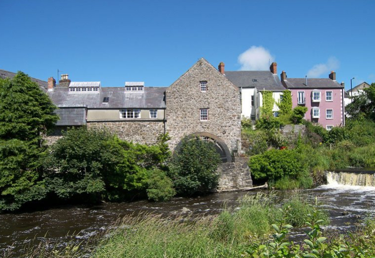 KilnKiln, corn-drying · 608 yd
 Church in Harristown BigChurch · 797 yd
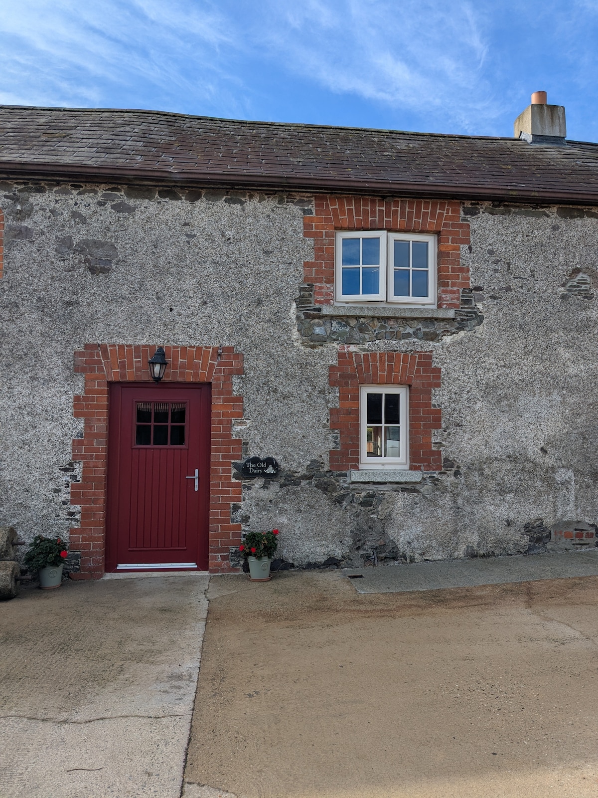 Hearth in BricketstownHearth · 891 yd
 IndicatedFairy fort / earthen ringfort · 931 yd
 Taghmon CastleCastle · 2.2 mi
 Bawn in SiginshaggardBawn · 2.9 mi
 Camaross HillMountain / peak · 3.0 mi
 Celebrating 125 YearsMemorial · 3.5 mi
 Ravens RocksMountain / peak · 4.1 mi
 Glenour MonumentMemorial · 4.1 mi
 Battle Of The Three RocksMemorial · 4.2 mi
 Battle of Three Rocksbattle · 4.6 mi