What is recorded here
Indicated is a moated site in County Kildare, Ireland. James, Earl of Kildare commissioned a series of estate maps from John Rocque and on his 1757 map of Griffinrath townland Rocque shows a 'moat field' containing a rectangular enclosure (Briggs and Haworth 1978, 113). The monument is also recorded on the 1st ed. (1838) of the OS 6-inch map as a small, tree-covered, rectangular enclosure. It lies on level pasture at the N foot of a low ridge, from where the ground falls gently away towards a small, N-flowing stream c. 100m to the E. A small rectangular
James, Earl of Kildare commissioned a series of estate maps from John Rocque and on his 1757 map of Griffinrath townland Rocque shows a 'moat field' containing a rectangular enclosure (Briggs and Haworth 1978, 113). The monument is also recorded on the 1st ed. (1838) of the OS 6-inch map as a small, tree-covered, rectangular enclosure. It lies on level pasture at the N foot of a low ridge, from where the ground falls gently away towards a small, N-flowing stream c. 100m to the E. A small rectangular area (int. dims. L 18.1m N-S; Wth 16.9m) is defined by a shallow, waterlogged fosse (Wth 1.7m along S-3.2m along N; D 0.1-0.3m), and has a level, featureless interior.
Compiled by: Gearóid Conroy
Date of upload: 10 June 2011
The monument record does not grant public access. Check the route and ask the landowner before entering private land.
- What survives
- Recorded monument
Places near here
 Griffin RathFairy fort / earthen ringfort · 450 yd
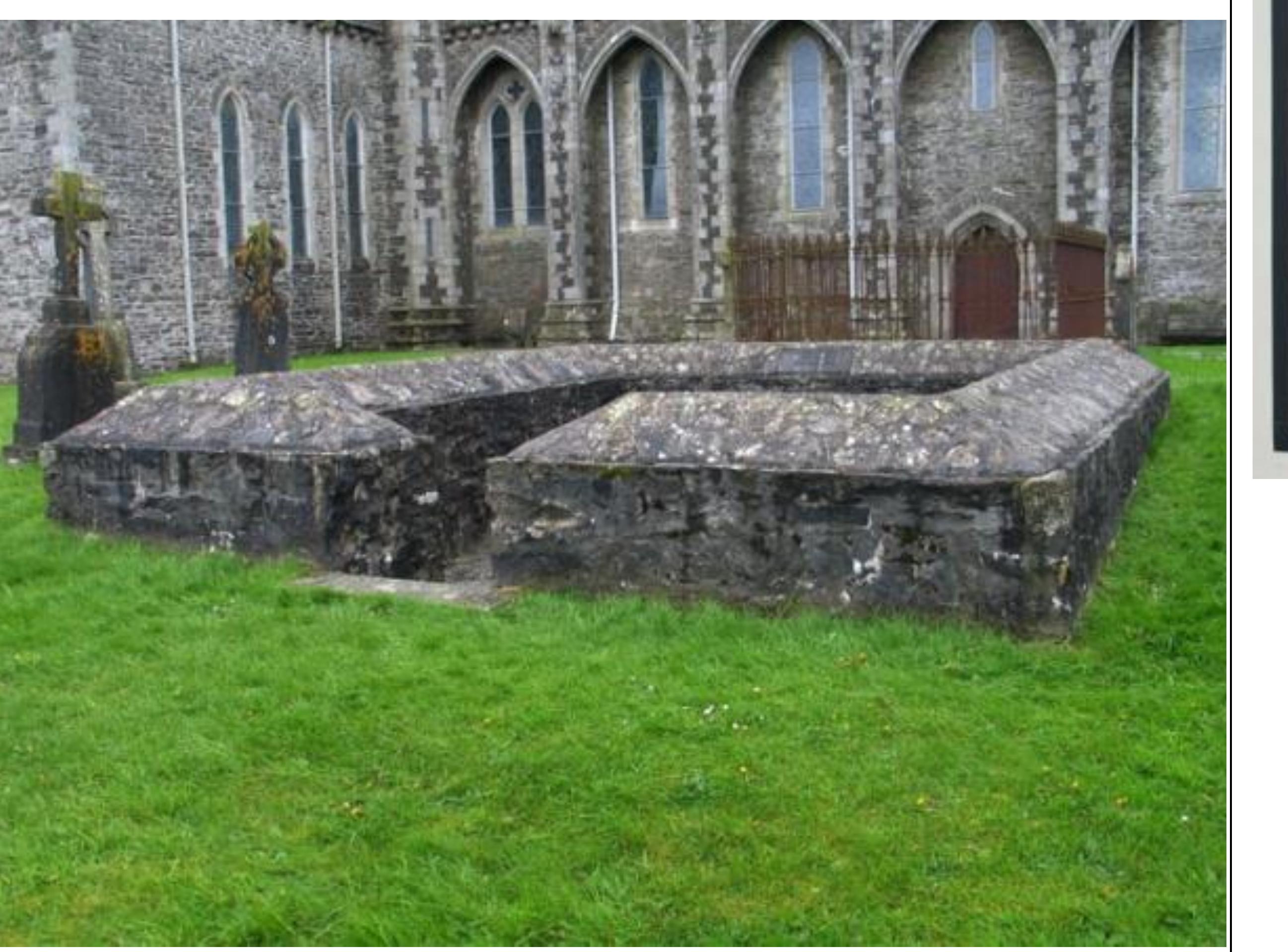 Enclosure in GriffinrathEnclosure · 948 yd
 Andrew FayMemorial · 1.0 mi
 Joseph McCormackMemorial · 1.1 mi
 Conolly's FollyHeritage attraction · 1.3 mi
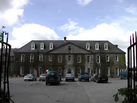 Celbridge Collegiate Schoolcharter school · 1.4 mi
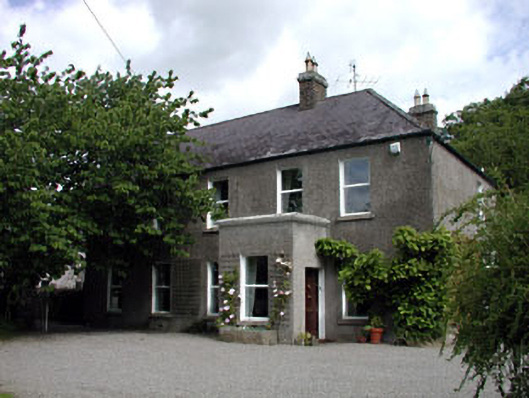 Windgates Househouse · 1.4 mi
 Common LimeCommon Lime · 1.7 mi
 Oriental planeOriental plane · 1.7 mi
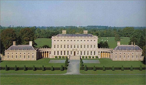 Castletown HouseHeritage attraction · 1.8 mi
 CastleCastle, Anglo-Norman masonry castle · 2.1 mi
 IndicatedEnclosure · 1.1 mi