What is recorded here
Depicted as an oval-shaped tree plantation (approx. diam. 66m) on the 1840 ed. OS 6-inch map where it is shown standing on the demesne landscape of Green Mount. Situated on a W-facing slope of a hill in undulating pasture, in the modern grounds of Limerick racecourse. Visible today on Digital Globe aerial imagery as an oval-shaped grove of trees. Not depicted as an antiquity on an edition of the OS 6-inch maps. Its location on the demesne landscape of Green Mount suggests that this earthwork represents the remains of a tree-ring of post-1700 date.
Compiled by: Caimin O'Brien
Date of upload: 14 May 2020
The monument record does not grant public access. Check the route and ask the landowner before entering private land.
- What survives
- Recorded monument
Places near here
 Enclosure in GreenmountEnclosure · 250 yd
 Partially outlinedEnclosure · 404 yd
 Fort Etnacountry house · 724 yd
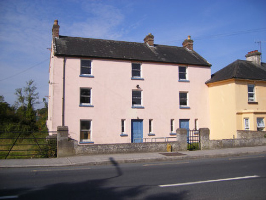 RIC barracksRIC barracks · 833 yd
 Castle FieldCastle, unclassified · 1.3 mi
 Ballinveala Castle (in ruins)Castle, tower house · 2.2 mi
 Sailors HaggardMemorial · 5.1 mi
 Kinnoor WellSpring · 6.9 mi
 Grass IslandIslet · 7.1 mi
 Maiden RockNamed rock · 7.3 mi
 Flat cemetery in Kiltenan SouthFlat cemetery · 7.4 mi
 Mellon PointHeadland · 7.9 mi