What is recorded here
Indicated is a collapsed holy well in County Cork pasture, abandoned after rounds stopped. It lies two hundred metres south of a possible church and burial ground, now hidden by overgrowth and dry. The water may have drunk the lives of everyone who knelt beside it, leaving only a hollow shadow in the grass.
In pasture, c. 200m S of possible church and burial ground (14106). Bowman (1934, 523) recorded holy well here, noting that 'Rounds have been discontinued for a long time'. Well collapsed and dry; inspection made difficult by overgrowth.
The above description is derived from the published 'Archaeological Inventory of County Cork. Volume 4: North Cork' (Dublin: Stationery Office, 2000). In certain instances the entries have been revised and updated in the light of recent research.
Date of upload/revision: 14 January 2009
Linked to an unidentified saint, the site was historically associated with holy well rituals, though specific cures or traditions are not recorded. Local folklore suggests the well was once used for healing or spiritual practices, with "rounds" (ritual processions) performed there until they were discontinued in the early 20th century.
The monument record does not grant public access. Check the route and ask the landowner before entering private land.
- What survives
- Recorded monument
Places near here
 IndicatedFairy fort / earthen ringfort · 228 yd
 Spring GroveCountry house · 557 yd
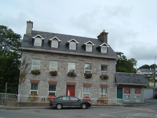 Greenane Househouse · 983 yd
 Burial ground in Curragh (duhallow By., Clonfert Par.)Burial ground · 1103 yd
 Hanna SheehyMemorial · 1325 yd
 Kanturk CastleHeritage attraction · 1.2 mi
 Ballyheen Castle (Site of)Castle, unclassified · 1.9 mi
 Burial ground in AssolasBurial ground · 2.1 mi
 European YewEuropean Yew · 2.3 mi
 CastleCastle, unclassified · 2.8 mi
 St Fursey's WellSpring · 3.0 mi
 Stanner's Glen, Priory WoodWood · 4.2 mi