
What is recorded here
Situated at the base of a S-facing slope in an undulating valley with a stream c. 10m W of the site running N-S. A small hillock has been artificially scarped to create a large, trapezoidal, grass-covered platform (66m max. N-S; 29.5m min. N-S; 63m E-W) enclosed by a low, earth and gravel bank (Wth 1.3m; int. H 0.35m; ext. H 1.57m) which falls steeply to the exterior and is relatively insignificant internally. The bank is levelled at NE and the S end of the E side has been denuded by modern agriculture. There is no fosse visible around the base of the platform though there is a slight dip (Wth c. 1m) which is quite wet. A fulacht fia (TN033-029002) is incorporated into the NE angle of the site and another (TN033-029003) lies immediately N of the site.
The above description is derived from 'The Archaeological Inventory of County Tipperary. Vol. 1 - North Tipperary' compiled by Jean Farrelly and Caimin O'Brien (Dublin: Stationery Office, 2002). In certain instances the entries have been revised and updated in the light of recent research.
Date of upload/revision: 22 September 2008
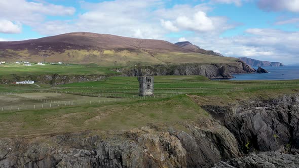
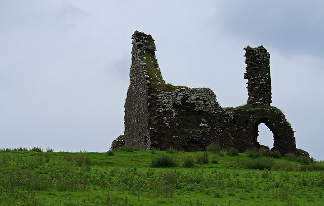
Built by the O'Hanlons, a Gaelic Irish clan, in the 15th or 16th century, Greenan Castle is remembered as a significant stronghold in medieval Ulster and for its role in local resistance against English expansion.
The monument record does not grant public access. Check the route and ask the landowner before entering private land.
- What survives
- Recorded monument
Places near here
 CoumsallahaunMountain / peak · 1178 yd
 Fulacht fia in CappanavillaFulacht fia · 1.1 mi
 Fulacht fia in GarranakilkaFulacht fia · 1.2 mi
 Commaun BegMountain / peak · 1.6 mi
 Church in CloghonanChurch · 2.2 mi
 Cloghinch Old BridgeBridge · 2.2 mi
 Site of Cloghonan CastleCastle, unclassified · 2.3 mi
 Bawn in Cullahill (glenkeen Par.)Bawn · 2.5 mi
 Killavalla WoodForest · 3.8 mi
 Sweet ChestnutSweet Chestnut · 7.1 mi
 Silvermines ViewpointViewpoint · 7.1 mi
 Our Lady Assumed into HeavenMemorial · 7.8 mi
Other information
Photo: Credit not shown in the picture search · Rights wording not checked; contact us if this picture should be removed