What is recorded here
Indicated, Grallagh is a gun-looped bawn wall in County Tipperary, built to defend Grallagh when Thomas Butler of Kilconnel held the lands. Its seven reconstructed loops, some doubled and one blocked from inside, still aim across wet pasture where tents and cabbins once clustered beside the castle. The wall stands thirty-five metres long and over three metres high, marking the edge of a household that treated even ordinary ground as a place of watchfulness.
On a gentle NE-facing slope in wet undulating pastureland. Farmhouse located SW of tower house, separated from tower house by modern concrete and stone wall which extends around NW and S of bawn. The Civil Survey (1654-6) describe the lands of Grallagh as having 'a good castle on them with a bawne & some few Tents. & Cabbins' (Simington 1931, vol. 1, 244). Thomas Butler of Kilconnel is listed as proprietor in 1640 (ibid.). Original bawn running N-S E of tower house (TS053-012001-). The surviving length of bawn wall (T 1.54-1.6m) runs N-S at a distance of 11.4m from the E angle of the tower house and 19.2m from the N angle, it also forms the boundary with the public road which runs N-S. It is 35.8m long and max. H of 3.4m. There are seven reconstructed gun loops, including two double gun loops. They range in height from 0.35-0.65m above external ground level, those at the N end of the bawn being lower. Where the gun embrasures survive they are flat-arched with wide internal splays, the width of the internal embrasures range from 0.47-1.7m and the space between the gun embrasures ranges from 1.55-2.78m. The most southerly loop is blocked up internally.
Compiled by: Jean Farrelly
Date of upload: 26 August 2011
Built in the 15th or 16th century, Grallagh Tower House was likely held by a local Gaelic or Anglo-Irish family, as was common in the region during the late medieval period. It is remembered for its survival as a defensible tower house and its association with the historical landscape recorded in the 1654–56 Civil Survey.
The monument record does not grant public access. Check the route and ask the landowner before entering private land.
- What survives
- Recorded monument
Places near here
 Grallagh CastleCastle · 14 yd
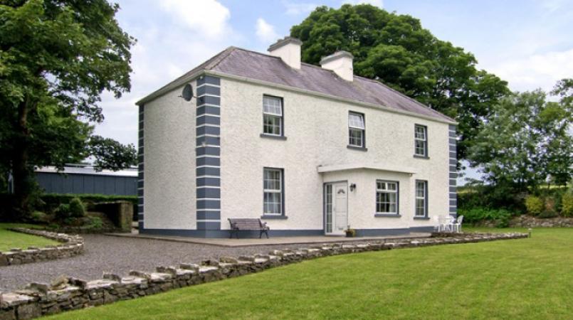 Enclosure in Grallagh (graystown Par.)Enclosure · 1443 yd
 Enclosure in Curraheen (ballymurreen Par.)Enclosure · 1.2 mi
 Horse and JockeyVisitor information · 1.3 mi
 Gift Horse GalleryGallery · 1.4 mi
 Horse and Jockey Railway Stationsignal box · 1.5 mi
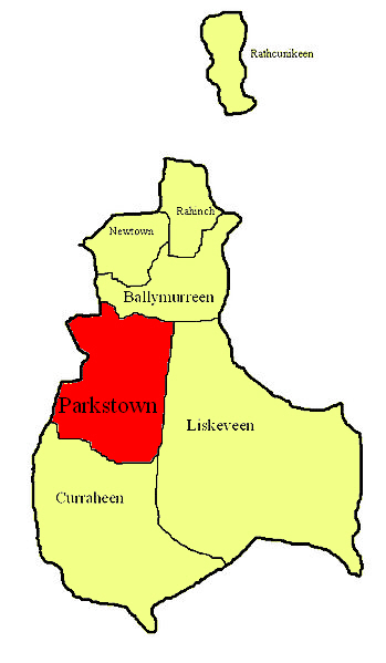 Parkstown Castle (site of)Castle, unclassified · 1.5 mi
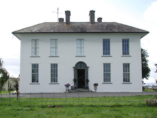 Parkstown Househouse · 1.6 mi
 Gobban Saer's GraveArchaeological place · 1.6 mi
 Noan WoodWood · 2.5 mi
 Ballinure HillMountain / peak · 2.6 mi
 Taylor's WoodWood · 2.8 mi