What is recorded here
On natural rise of ground on undulating reclaimed grassland in upland region with good views in all directions. Originally the moated site was located on wet marshy land but recent land drainage has changed the land from marshy terrain to dry grassland. Heavily overgrown but well preserved monument consisting of a raised square-shaped area (dims. 50m NE-SW; 45m E-W) enclosed by the slightest suggestion of an earthen bank which has been mainly reduced to a scarp (H 1m) and wet outer fosse (base Wth 4m; top Wth 7m; ext. D 1.5m). No entrance feature visible. The outer fosse is best preserved along E side elsewhere the bank is reduced to a scarp and the fosse is filled in along the S and W sides and recut as a drain on the N side. Fields to N and W have been reclaimed and ploughed up and re-seeded with grass.
Compiled by: Jean Farrelly
Date of upload: 26 August 2011
The monument record does not grant public access. Check the route and ask the landowner before entering private land.
- What survives
- Recorded monument
Places near here
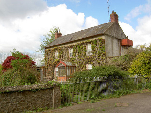 Jessfield Househouse · 772 yd
 The Lower Field Beside the LaneForest · 1334 yd
 Enclosure in Farranrory LowerEnclosure · 1403 yd
 The Oak FieldForest · 1456 yd
 IndicatedFairy fort / earthen ringfort · 1525 yd
 Farranrory CastleCastle · 1.1 mi
 bridgebridge · 1.2 mi
 Warhouse HillMountain / peak · 1.7 mi
 Castle (in ruins)Castle, unclassified · 2.1 mi
 Ballykeefe AmphitheatreHeritage attraction · 3.7 mi
 Ballykeefe QuarryCliff · 3.7 mi
 Ballykeeffe Mass RockNamed rock · 4.1 mi