
Places near here
Photo credits
- National Inventory of Architectural Heritage
- Golfing in Ireland; photographer not stated, Source publisher
- Kenneth Allen, Geograph · CC BY-SA 2.0
- Willie Duffin, Geograph · CC BY-SA 2.0
- John Lucas, Wikimedia Commons
- Wanfried-Dublin, Wikimedia Commons · CC BY-SA 4.0
- Kenneth Allen, Wikimedia Commons · CC BY-SA 2.0
- Richard Webb, Geograph · CC BY-SA 2.0
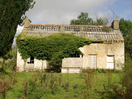 Tyrcallen HouseHunting/fishing lodge, house · 1183 yd
Explorer Tom Tyrcallen House was built by Sir Henry Steward in the late 1700s as a hunting lodge. It’s derelict now, but it retains…
 Mullaghagarry TowerFolly · 1275 yd
Explorer Tom Mullaghagarry Tower puts a spiral stair around an empty circle and has a viewing platform at the top. My knees would…
Castle (Site of)Castle, unclassified · 1.1 miExplorer Tom Castle (Site of) in Cavan Lower is playing hide-and-seek with me. A tale written down in 1846 says an earl built it and…
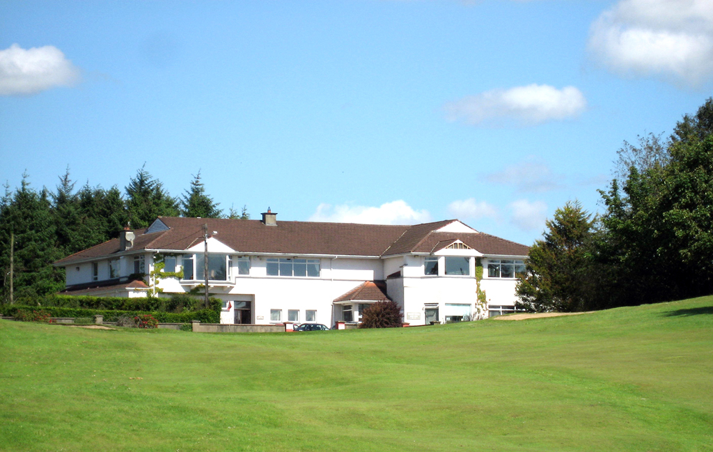 Ballybofey and Stranorlar Golf ClubGolf course · 1.3 mi
 McGuigan's BarPub · 1.7 mi
Explorer Tom McGuigan's Bar is out in County Donegal without a specific town listed, so it might be a bit of a hidden gem for those…
 The Snug BarPub · 1.8 mi
Explorer Tom The Snug Bar is on Main Street in Stranorlar, which implies a small, cozy corner where you can hide from the world and…
 Drumboe WoodForest recreation place · 2.1 mi
Explorer Tom Drumboe Wood looks like a modest place for a stroll until the River Finn and an old castle story step out from behind…
 MacCumhaill ParkGAA ground · 2.3 mi
Explorer Tom MacCumhaill Park is Ballybofey’s Gaelic games cauldron, the place where a Donegal roar can make the goalposts seem…
 Standing StonesPortal tomb · 3.4 mi
Explorer Tom Standing Stones near Cloghroe keeps two portal stones and a backstone in the survey account. Fagan recorded that…
 Dooghan / Carnowen Standing StoneStanding stone · 4.7 mi
Explorer Tom Dooghan / Carnowen Standing Stone is a whopping 1.88m tall, which means it’s basically as big as me! I bet it’s leaning…
 Carnowen HillMountain / peak · 4.9 mi
Explorer Tom Carnowen Hill has a secret it would tell after a few pints, but it never gets drunk because it’s too busy watching the…
 Lismullyduff MountainMountain / peak · 5.0 mi
Explorer Tom Lismullyduff Mountain in County Donegal is having a drama with the nearest tree because it thinks the tree is stealing…
More archaeology and monuments in County Donegal · All of County Donegal

What do you know about this place?Tap to add a comment or ask a question