
Places near here
Photo credits
- A.-K. D., Wikimedia Commons · CC BY-SA 4.0
- National Inventory of Architectural Heritage
- Mike Searle, Geograph · CC BY-SA 2.0
- David Purchase, Geograph · Creative Commons Attribution-ShareAlike 2.0
- Wanfried-Dublin, Wikimedia Commons · CC BY-SA 3.0
 Grange Castle (in ruins)Castle, tower house · 1252 yd
Explorer Tom Grange Castle bragged about surviving a storm that only happened in its head. It’s a tower house with a concrete face…
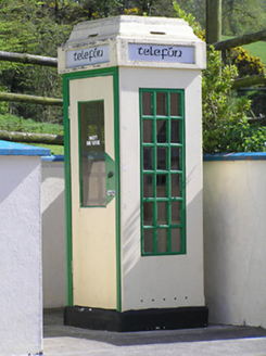 telephone box1308 yd
Explorer Tom Telephone box in Grangehill is a relic from before we carried bricks in our pockets. A fox once took charge of it, and…
 Clonamicklon Castle (in ruins)Bawn · 1641 yd
Explorer Tom This bawn at Clonamicklon is basically a fence that got tired and gave up halfway through the job. It sits next to the…
 icehouse1688 yd
Explorer Tom The Icehouse in Deerpark was buried under dirt to keep food cold for Kilcooly Abbey, which sounds lazy but effective.…
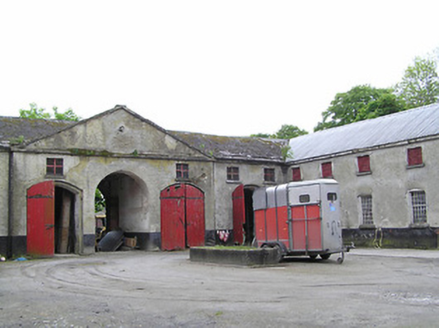 Kilcooly AbbeyStables · 1.2 mi
Explorer Tom Kilcooly Abbey is stables pretending to be a palace for a very confused audience. It would bring the good wine and zero…
 Wellington MonumentMonument · 1.6 mi
Explorer Tom Wellington Monument in Deerpark was built to look cool from one angle only, which is very rude of it. The first owner’s…
 Littlefield HouseCountry house · 1.7 mi
Explorer Tom Littlefield House in Littlefield caused such a huge parish argument that it lost its roof and still doesn't care. It’s…
 Slieveardagh HouseHouse · 2.1 mi
Explorer Tom Slieveardagh House in Blackcommon is derelict but still holding its head high, which I think the local rabbits find…
 rectory/glebe/vicarage/curate's house2.3 mi
Explorer Tom Rectory in Newtown claims to be older than the dirt beneath its feet, which is wild. It was built with church money and…
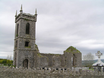 Fennor ChurchChurch/chapel · 4.0 mi
Explorer Tom Fennor Church is ruinous but still shows off those carved stone features from the nineteenth century. It’s got a…
 Sheela-na-gig in LeighSheela-na-gig · 4.6 mi
Explorer Tom Sheela-na-gig in Leigh is lying sideways on a church doorway, looking like she’s having a very long lunch and doesn’t…
 Ecclesiastical site in LeighEcclesiastical site · 4.6 mi
Explorer Tom Ecclesiastical site in Leigh is guarding a legend about a giant who got stuck in the bog and never quite left. St…
More archaeology and monuments in County Tipperary · All of County Tipperary

What do you know about this place?Tap to add a comment or ask a question