What is recorded here
On flat grassland with stream immediately to S with good views in all directions and nearby enclosure (TS049-007----) 300m to S. Barely visible remains of a circular enclosure which has been levelled and is only visible as a filled in fosse (Wth 1.4m; ext. D 0.1m) enclosing a circular area (diam. 34m NW-SE; 35m N-S). No other features visible, monument was probably levelled when field was reclaimed and re-seeded.
Compiled by: Jean Farrelly
Date of upload: 26 August 2011
The monument record does not grant public access. Check the route and ask the landowner before entering private land.
- What survives
- Recorded monument
Places near here
 Rapefield WoodForest · 1149 yd
 Grange Castle (in ruins)Castle, tower house · 1264 yd
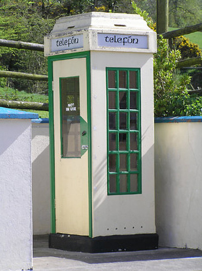 telephone boxtelephone box · 1323 yd
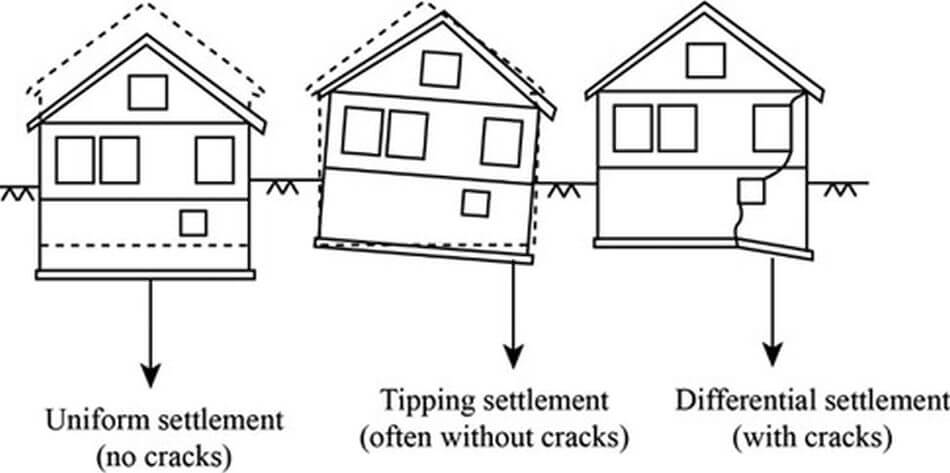 Settlement cluster in ClonamicklonSettlement cluster · 1568 yd
 Clonamicklon Castle (in ruins)Bawn · 1581 yd
 icehouseicehouse · 1697 yd
 Enclosure in KilcoolyabbeyEnclosure · 1715 yd
 Bregaun HillMountain / peak · 1.1 mi
 Kilcooly AbbeyHeritage attraction · 1.1 mi
 Four Acre WoodForest · 1.2 mi
 Warhouse HillMountain / peak · 3.1 mi
 Derrynaflan TrailHeritage attraction · 6.5 mi