What is recorded here
On flat, level terrain with very good views to the N and W. The view S and E is dominated by the Slieveardagh hills. An Anglo-Norman masonry castle (TS049-002001-) was built at Clonamickon c. 1306 by John Butler, son of Edmond Butler, the first Earl of Carrick. The Civil Survey (1654-6) lists ‘Pierce Lord Viscount Ikeryn Irish Papist’ as the proprietor of ‘Clonomilcon’ in 1640 and ‘Upon this land stands a good castle, a slate house with a large bawne & some houses abroade’ (Simington 1931, vol. 1, 128). On the Down Survey map (1655-58) the castle is depicted with five houses which may suggest that there was a settlement associated with the castle. Archaeological excavations 13.6m N of the castle revealed a drainage ditch and a sub-rectangular ditch (Moran 1996). According to the excavator, the sub-rectangular ditch and associated pits, surface and soil which accumulated over these features suggests there was occupation to the E of the ditch, though no datable evidence was recovered (ibid.). There is no visible trace of a settlement above ground.
Compiled by: Jean Farrelly
Date of upload: 09 January 2012
This remains an important historical record, but the official description says the monument is no longer visible or has been destroyed. The monument record does not grant public access. Check the route and ask the landowner before entering private land.
- What survives
- No visible remains or recorded as destroyed
Places near here
 Clonamicklon Castle (in ruins)Bawn · 40 yd
 IndicatedEnclosure · 1056 yd
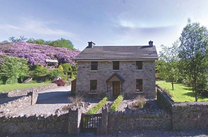 CastleCastle, unclassified · 1237 yd
 Knockaun FortArchaeological place · 1718 yd
 Littlefield Housecountry house · 1.0 mi
 Bregaun HillMountain / peak · 1.1 mi
 Kilcooly AbbeyHeritage attraction · 1.2 mi
 Kilcooly Abbey (in ruins)Religious house, Cistercian monks · 1.2 mi
 Rapefield WoodForest · 1.2 mi
 KilcooleyForest · 1.6 mi
 Warhouse HillMountain / peak · 3.6 mi
 Derrynaflan TrailHeritage attraction · 5.7 mi
Other information
Photo: Credit not shown in the picture search · Rights wording not checked; contact us if this picture should be removed