What is recorded here
On flat poorly drained wet terrain with good views in all directions. No surface remains visible. Mushroom tunnels and access road located where monument is marked on OS 6-inch map. Possibly depicted as a tree ring on first edition OS 6-inch map.
Compiled by: Jean Farrelly
Date of upload: 26 August 2011
A local fairy fort (ringfort/rath); wider significance not recorded.
The monument record does not grant public access. Check the route and ask the landowner before entering private land.
- What survives
- Recorded monument
Places near here
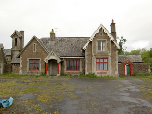 Dundrum Railway Stationrailway station · 858 yd
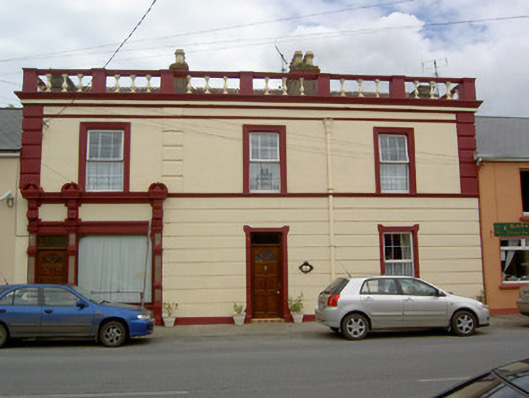 Tara Rosehouse · 1065 yd
 Dundrum Woods (Marl Bog)Forest · 1.1 mi
 Enclosure in Dundrum,gortussa (ballintemple Par.)Enclosure · 1.2 mi
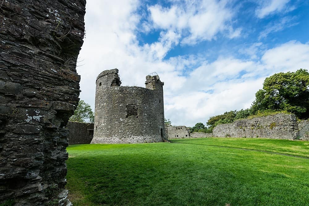 Site of CastleCastle, unclassified · 1.3 mi
 Gortard WoodForest · 1.3 mi
 KilleenArchaeological place · 1.3 mi
 Ballysheeda Castle (in Ruins)Castle, tower house · 2.6 mi
 Clonoulty HillMountain / peak · 4.5 mi
 Ring HillMountain / peak · 4.9 mi
 Soloheadbeg Ambushambush · 5.7 mi
 Soloheadbeg Ambush SiteMemorial · 6.2 mi