
What is recorded here
Indicated is an overgrown fairy fort on a NE-facing slope in County Cork, Ireland. Its earthen bank still stands one and a half metres high around a subcircular space eighteen metres wide, though grass and shadow have closed the entrance. People may have lived there, feared there or simply avoided disturbing what the land already knew.
In pasture on NE-facing slope. Subcircular area (diam. c. 18m) overgrown and inaccessible, enclosed by earthen bank (H 1.5m).
The above description is derived from the published 'Archaeological Inventory of County Cork. Volume 1: West Cork' (Dublin: Stationery Office, 1992). In certain instances the entries have been revised and updated in the light of recent research.
Date of upload/revision: 14 January 2009
The monument record does not grant public access. Check the route and ask the landowner before entering private land.
- What survives
- Recorded monument
Places near here
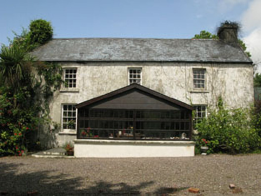 farm housefarm house · 319 yd
 KilnKiln, lime · 1306 yd
 Monterey CypressMonterey Cypress · 1433 yd
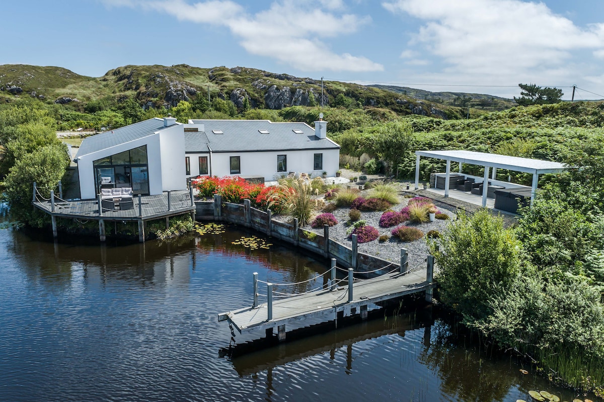 Fulacht FianFulacht fia · 1733 yd
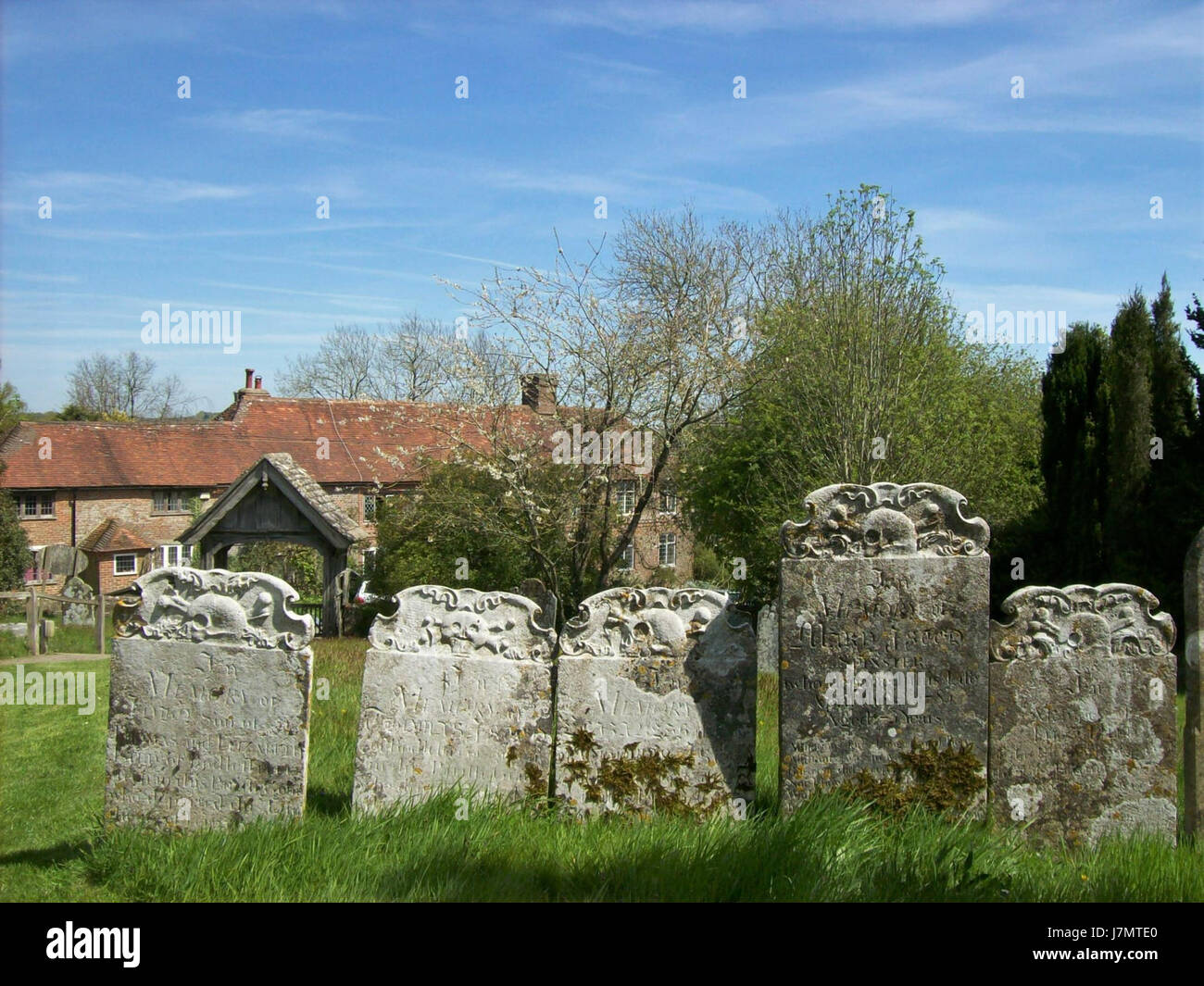 Childrens Burial Gd (Disused)Burial ground · 1.0 mi
 Bawn in Oldcourt (carbery West (e.d) By.)Bawn · 1.4 mi
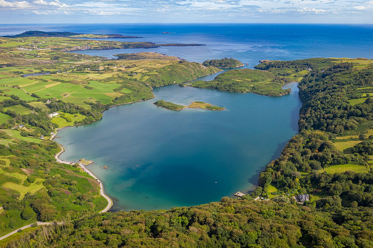 Lough HyneVisitor information · 2.0 mi
 Wild Atlantic WayVisitor information · 2.1 mi
 Donegall Castle (in Ruins)Castle, unclassified · 2.6 mi
 KnockomaghMountain / peak · 3.1 mi
 Bishop MahonyMemorial · 3.1 mi
 Mannin BegIslet · 3.4 mi
Other information
Photo: Credit not shown in the picture search · Rights wording not checked; contact us if this picture should be removed