What is recorded here
Marked simply as a well on the 1839 and 1925 eds of the OS 6-inch map, and situated in a fold on a W-facing slope at the headwaters of a short NE-SW stream that joins the N-S Milltown stream, c. 350m to the SW. It is held locally to have been the original St. Anne's Well before the present well (WX018-011----) was established c. 1.8 km to the NNW. The well is now covered in. The church site (WX018-029001-) is c. 30m to the NE and the graveyard (WX019-016----) is c. 140m to the ESE.
Compiled by: Michael Moore
Date of upload: 22 May, 2012
A local holy well or ritual site; wider significance not recorded.
The monument record does not grant public access. Check the route and ask the landowner before entering private land.
- What survives
- Recorded monument
Places near here
 Killeen (in Ruins)Church · 35 yd
 IndicatedFairy fort / earthen ringfort · 487 yd
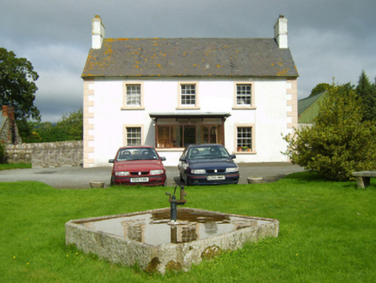 farm housefarm house · 1371 yd
 Site of ChapelChurch · 1690 yd
 1798 MemorialMemorial · 1.1 mi
 Ruin of a small castleRuins · 2.1 mi
 Killoughrum ForestForest · 3.1 mi
 SlievebaunMountain / peak · 3.2 mi
 White MountainMountain / peak · 4.5 mi
 1798 RebellionMemorial · 5.9 mi
 Pedunculate OakPedunculate Oak · 6.0 mi
 Church in Garraun LowerChurch · 1724 yd