
What is recorded here
Marked faintly as a circular enclosure (diam. c. 25m) and described as 'Site of Chapel' on the 1839 ed. of the OS 6-inch map. It is located at the S end of the plateau of a NW-SE spur with the N-S Killeen stream c. 700m to the E and the W-E River Boro c. 650m to the S. This Roman Catholic chapel was extant in 1753 when Bishop Sweetman conducted confirmation there and the sermon was given in Irish by the parish priest Fr. Martin Redmond. During the 1798 rebellion the congregation protected a local Protestant man from the insurgents (Cullen 2018, 40). There are no visible remains of a structure, enclosure or burial at ground level. Local information places the site c. 200m to the E (WX025-001003-), but this is unlikely. A granite bullaun stone (dims of top 0.62m x 0.57m; H 0.34m) with a single basin (dims 0.39m x 0.33m; D 0.2m) which had present at the location in the 1940s (SMR file), but was missing for a time is now at a house in Caim (WX019-042----).
The above description is derived from the published 'Archaeological Inventory of County Wexford' (Dublin: Stationery Office, 1996). In certain instances the entries have been revised and updated in the light of recent research.
Compiled by: Michael Moore
Date of upload: 3 July, 2012
Revised: 30 September, 2019
This remains an important historical record, but the official description says the monument is no longer visible or has been destroyed. The monument record does not grant public access. Check the route and ask the landowner before entering private land.
- What survives
- No visible remains or recorded as destroyed
Places near here
 Church in Garraun LowerChurch · 236 yd
 IndicatedFairy fort / earthen ringfort · 540 yd
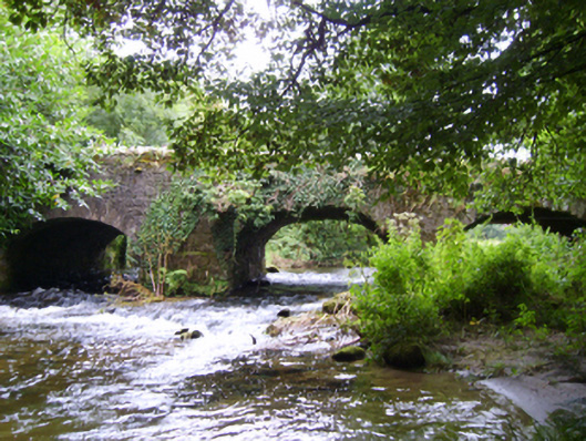 Boro Bridgebridge · 1297 yd
 Ruin of a small castleRuins · 1.2 mi
 Enclosure in Knockmore (bantry By.)Enclosure · 1.2 mi
 1798 MemorialMemorial · 2.1 mi
 Killoughrum ForestForest · 3.4 mi
 SlievebaunMountain / peak · 3.9 mi
 White MountainMountain / peak · 4.7 mi
 (Site of) CastleCastle, unclassified · 5.5 mi
 Glenour MonumentMemorial · 7.1 mi
 Silver WattleSilver Wattle · 7.3 mi
Other information
Photo: Credit not shown in the picture search · Rights wording not checked; contact us if this picture should be removed