
What is recorded here
Located at the S end of the plateau of a NW-SE spur with the N-S Killeen stream c. 500m to the E and the W-E River Boro c. 670m to the S. This is thought locally to be the correct location of the church (WX024-001001-) and it is described locally as being a stony area at the time it was cleared. The bullaun stone (WX024-001002-) that was associated with the church is now at a house in Caim (WX019-042----).
Compiled by: Michael Moore
Date of upload: 3 July, 2012
Amended: 30 September, 2019
A local church or high cross; wider significance not recorded.
The monument record does not grant public access. Check the route and ask the landowner before entering private land.
- What survives
- Recorded monument
Places near here
 Site of ChapelChurch · 236 yd
 IndicatedFairy fort / earthen ringfort · 765 yd
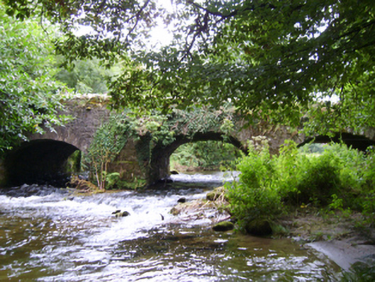 Boro Bridgebridge · 1196 yd
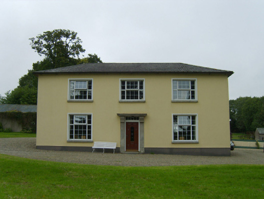 Belmontfarm house · 1224 yd
 Ruin of a small castleRuins · 1.1 mi
 1798 MemorialMemorial · 2.1 mi
 Killoughrum ForestForest · 3.3 mi
 SlievebaunMountain / peak · 4.0 mi
 White MountainMountain / peak · 4.8 mi
 (Site of) CastleCastle, unclassified · 5.4 mi
 Glenour MonumentMemorial · 7.1 mi
 Silver WattleSilver Wattle · 7.4 mi
Other information
Photo: Credit not shown in the picture search · Rights wording not checked; contact us if this picture should be removed