
What is recorded here
Marked only on 1925 ed. of the OS 6-inch map as a 'Killeen'. John O'Donovan writing c. 1840 (O'Flanagan 1933, vol. 2, 102) records that a small church and graveyard once existed at Glenglass. It may have continued as a Catholic chapel into the Penal era (Codd 2005, 39). The church site is thought to be a slightly raised area (dims. c. 10m NW–SE; c. 6m NE–SW). St Anne's Well, now covered in, is c. 30m to the SW and the graveyard site (WX019-016----) is c. 130m to the ESE.
The above description is derived from the published 'Archaeological Inventory of County Wexford' (Dublin: Stationery Office, 1996). In certain instances the entries have been revised and updated in the light of recent research.
Compiled by: Michael Moore
Date of upload/revision: 22 May, 2012
A local church or high cross; wider significance not recorded.
The monument record does not grant public access. Check the route and ask the landowner before entering private land.
- What survives
- Recorded monument
Places near here
 IndicatedFairy fort / earthen ringfort · 469 yd
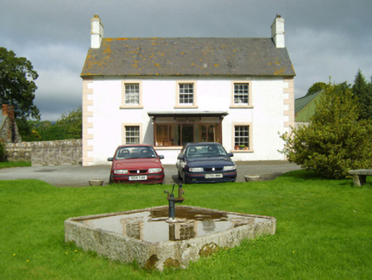 farm housefarm house · 1355 yd
 Site of ChapelChurch · 1706 yd
 Church in Garraun LowerChurch · 1736 yd
 1798 MemorialMemorial · 1.1 mi
 Ruin of a small castleRuins · 2.1 mi
 Killoughrum ForestForest · 3.0 mi
 SlievebaunMountain / peak · 3.2 mi
 White MountainMountain / peak · 4.5 mi
 Daphney CastleCastle, unclassified · 5.6 mi
 Pedunculate OakPedunculate Oak · 5.9 mi
 Mount LeinsterMountain · 7.8 mi
Other information
Photo: Credit not shown in the picture search · Rights wording not checked; contact us if this picture should be removed