What is recorded here
Located on top of Laghtnafrankee Mountain. This is a cairn (dims. 8.7m E-W; 7m N-S; H 0.6m) supporting a trigonometric station. It has no visible kerbstones or other features.
The above description is derived from the published 'Archaeological Inventory of County Waterford' (Dublin: Stationery Office, 1999). In certain instances the entries have been revised and updated in the light of recent research.
Date of upload/revision: 23 December 2008
The monument record does not grant public access. Check the route and ask the landowner before entering private land.
- What survives
- Recorded monument
Places near here
 LaghtnafrankeeMountain / peak · 12 yd
 The Prison WaterfallWaterfall · 1025 yd
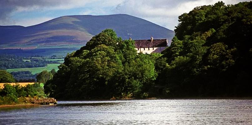 Laghtnafrankee SW TopMountain / peak · 1.1 mi
 CairnCairn, unclassified · 2.2 mi
 Knocknaree WoodForest · 2.4 mi
 Enclosure in Boolabrien UpperEnclosure · 2.5 mi
 HawthornHawthorn · 2.5 mi
 Carey's CastleCastle · 2.7 mi
 Labartt's Bridgebridge · 2.8 mi
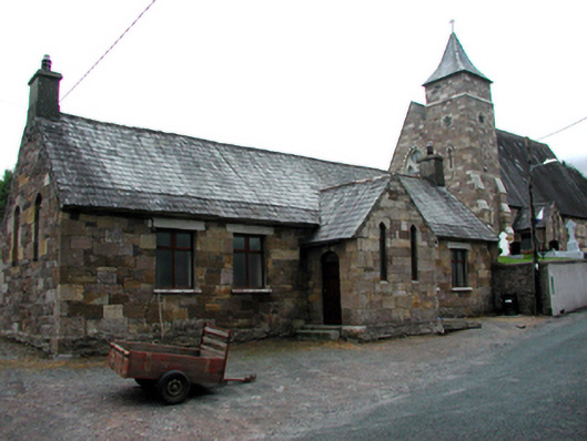 Glennanore National Schoolschool · 2.8 mi
 Kilgainy Castle (in ruins)Castle, tower house · 2.8 mi