
What is recorded here
Situated on the summit of a hill overlooking the Suir river valley to the N. Subcircular grass-covered cairn (dims. at base 7.1m N-S; 6.7m E-W; H 0.4-0.7m) with a flat top (diam. 4m).
The above description is derived from the published 'Archaeological Inventory of County Waterford' (Dublin: Stationery Office, 1999). In certain instances the entries have been revised and updated in the light of recent research.
Date of upload/revision: 23 December 2008
A local ancient tomb; wider significance not recorded.
The monument record does not grant public access. Check the route and ask the landowner before entering private land.
- What survives
- Recorded monument
Places near here
 Scrouthea HillMountain / peak · 298 yd
 KnockinadothaMountain / peak · 1625 yd
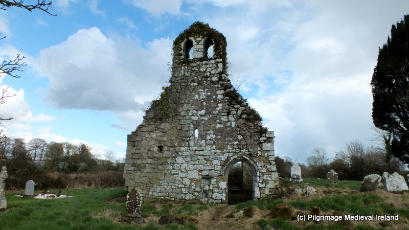 Ritual siteRitual site, holy tree/bush · 1.1 mi
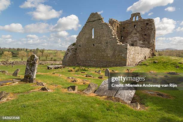 Templenaplague or St. Nicholass Ch. (in ruins)Church · 1.1 mi
 HawthornHawthorn · 1.1 mi
 Carey's CastleCastle · 1.1 mi
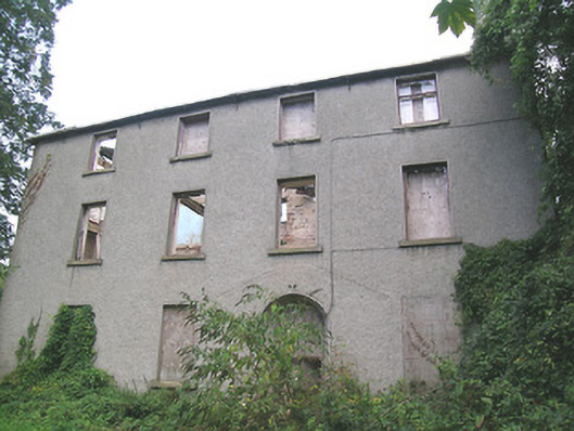 Suir Island Housemiller's house · 1.2 mi
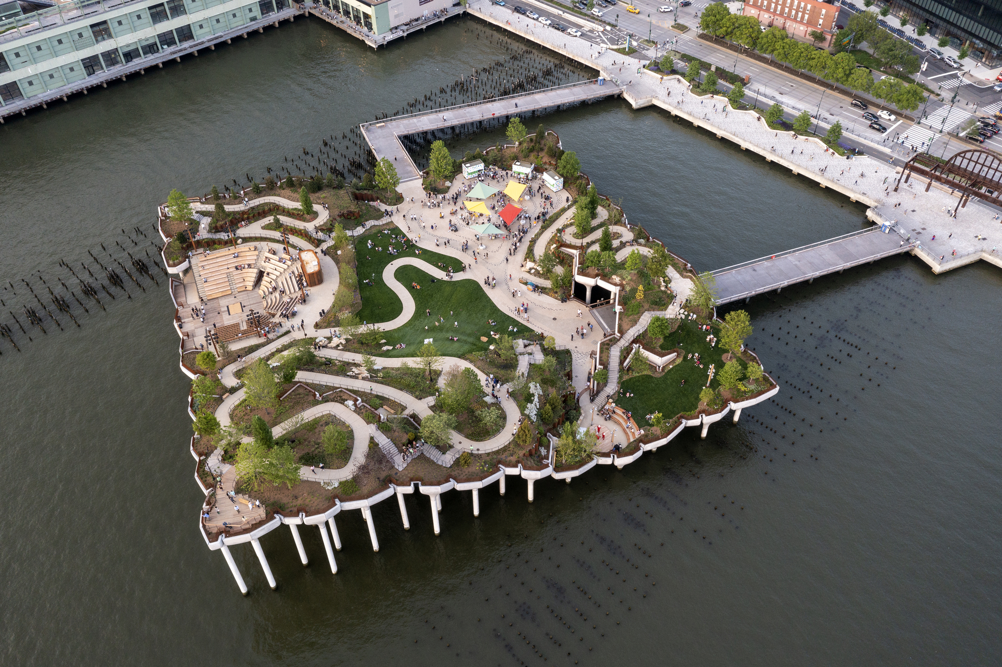 Little IslandIslet · 1.3 mi
 Streches IslandIsland · 1.3 mi
 Black WalnutBlack Walnut · 1.3 mi
 Creamery (site of)Archaeological place · 1.3 mi
 RetrospectMemorial · 1.3 mi
Other information
Photo: Credit not shown in the picture search · Rights wording not checked; contact us if this picture should be removed