
What is recorded here
Situated in a terrace on a N facing slope of Glencullen Mountain. Shown on the 1843 OS 6-inch map as a roughly circular enclosure (diam. c. 30m) and as a ring of closely set stones on the 1937 edition. The site has been planted with trees leaving no visible trace above ground (Healy 1975, 1-19).
Compiled by: Geraldine Stout and Padraig Clancy
Uploaded on: 28 July 2018
A local fairy fort (ringfort/rath); wider significance not recorded.
This remains an important historical record, but the official description says the monument is no longer visible or has been destroyed. The monument record does not grant public access. Check the route and ask the landowner before entering private land.
- What survives
- No visible remains or recorded as destroyed
Places near here
 Butter WellWell · 783 yd
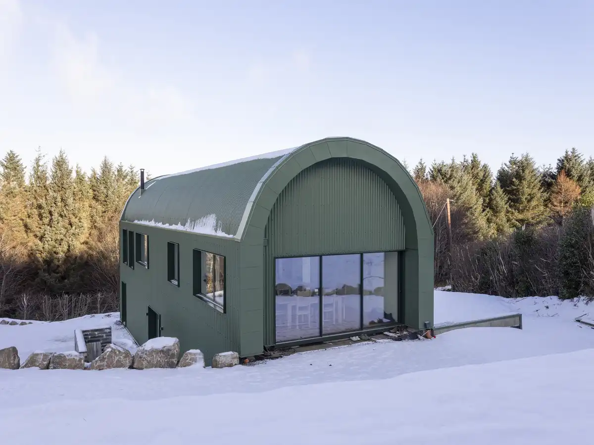 Enclosure in BallybrewEnclosure · 963 yd
 Glencullen Bridgebridge · 1127 yd
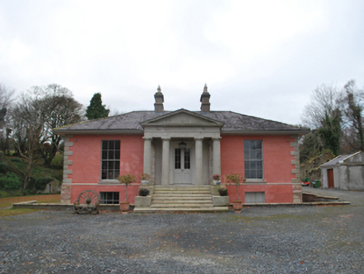 Glencullen Housecountry house · 1152 yd
 Prince William's SeatMountain / peak · 1371 yd
 Cloon WoodForest · 1.3 mi
 KnocknagunMountain / peak · 1.3 mi
 Curtlestown WoodForest · 1.4 mi
 Dublin Mountains Partnership InformationVisitor information · 1.9 mi
 Dublin Mountain Way informationVisitor information · 2.1 mi
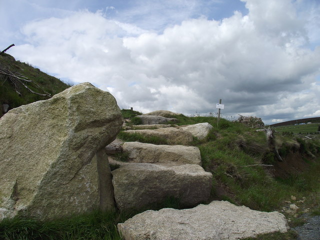 Wicklow WayWalking route · 2.2 mi
 O'Connells RockMemorial · 2.3 mi
Other information
Photo: Credit not shown in the picture search · Rights wording not checked; contact us if this picture should be removed