What is recorded here
On flat pasture with good views in all directions. A well-preserved ring-barrow (overall diam. c. 23m) consists of a circular flat-topped mound (top diam. 5m; base diam. 8.2m; H 0.4m) enclosed by an inner fosse (base Wth 2m; top Wth 5m; ext. D 1m) and outer bank (base Wth 5m; top Wth 1.4m; ext. H 0.65m) which is intersected at the E on a N-S axis by a modern field boundary. The ring-barrow is heavily overgrown and covered in thorn bushes but otherwise in good condition.
Compiled by: Jean Farrelly
Date of upload: 26 August 2011
A Neolithic ring-barrow, dating to approximately 2500–2000 BCE, characterized by a circular flat-topped mound and an inner fosse. Such monuments are significant as early funerary and ceremonial structures, reflecting social organization and ritual practices of Neolithic communities in the region.
The monument record does not grant public access. Check the route and ask the landowner before entering private land.
- What survives
- Recorded monument
Places near here
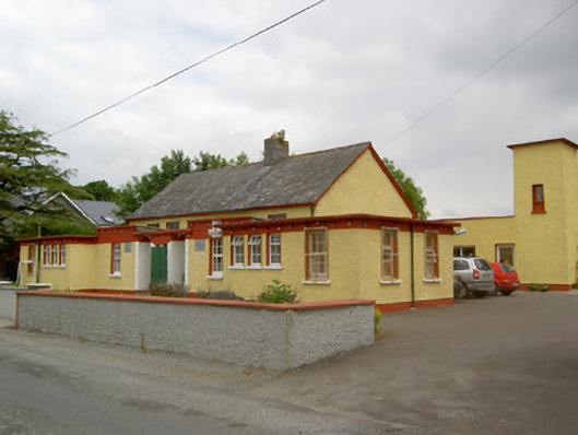 Gaile National Schoolschool · 523 yd
 IndicatedFairy fort / earthen ringfort · 798 yd
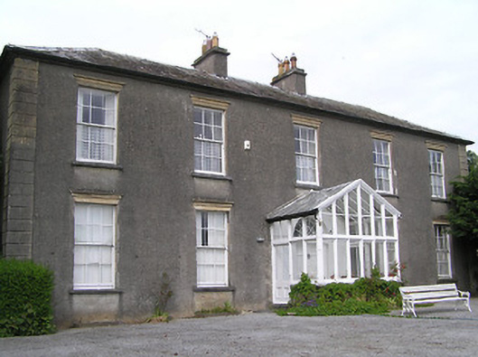 Gaile Househouse · 1689 yd
 Enclosure in ToberadoraEnclosure · 1.1 mi
 Killough Hill (site of)Mountain / peak · 1.5 mi
 Nodstown CastleCastle, tower house · 1.8 mi
 Milltown CastleCastle · 1.8 mi
 Cormackstown Heritage CentreMuseum · 3.9 mi
 Clonoulty HillMountain / peak · 3.9 mi
 Gift Horse GalleryGallery · 4.0 mi
 Wildlife CorridorWood · 4.7 mi
 Horse and JockeyVisitor information · 4.8 mi