
What is recorded here
Depicted as an island close to the SW shore of Glear Lough (OS 1834) or Bishop’s Lough (OS 1907), an oval lake (max. dims c. 440m WNW-ESE; c. 200m NNE-SSW) on the 1834 edition of the OS 6-inch map, but it is now incorporated in the tip of a promontory on the NE side of the much reduced lake when the water level is low. It is now a D-shaped or subrectangular grassy area (dims 11.8m N-S; 10m E-W; H 0.7m over the water) with some trees that is attached to the shore to the NE by a marshy peninsula, but also cut by ENE-WSW drains to the N and S. Some timbers can be seen in the open water, and charcoal and burnt bone had been noted in the 1940s (SMR file). Crannog (MO012-059----) is c. 100m to the SW.
The above description is derived from the published 'Archaeological Inventory of County Monaghan' (Dublin: Stationery Office, 1986). In certain instances the entries have been revised and updated in the light of recent research.
Revised by: Michael Moore
Date of revision: 29 January 2018
The monument record does not grant public access. Check the route and ask the landowner before entering private land.
- What survives
- Recorded monument
Places near here
 IndicatedCrannog · 99 yd
 bridgebridge · 688 yd
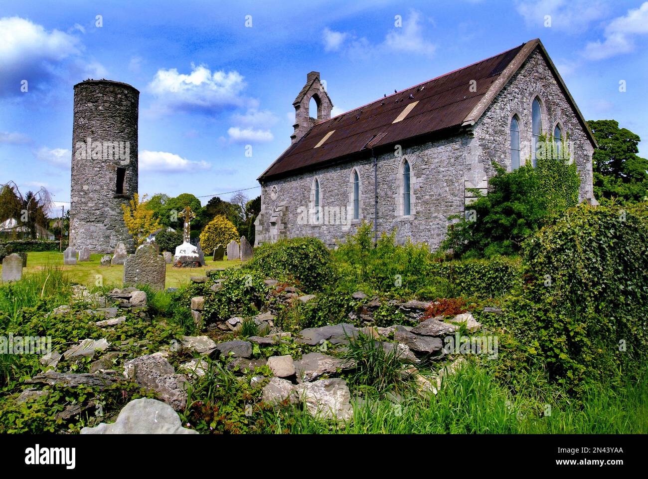 Man-made underground passage in AnnaghkillyMan-made underground passage · 792 yd
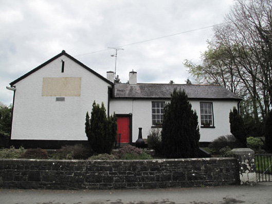 Annaghkilly National Schoolschool · 824 yd
 Saint John's WellSpring · 912 yd
 KillycoonaghWood · 1222 yd
 Common LimeCommon Lime · 1450 yd
 Bawn in CrossmoyleBawn · 1.5 mi
 Abbey RuinsHeritage attraction · 1.5 mi
 The Cassandra Hand CentreMuseum · 1.6 mi
 CastleCastle, motte and bailey · 1.7 mi
 Jaundice WellSpring · 2.4 mi
Other information
Photo: Credit not shown in the picture search · Rights wording not checked; contact us if this picture should be removed