What is recorded here
Returning from Wales in 1167 Diarmuid Mac Murchada landed at Glascarrig, which may have served as a port for Ferns (Colfer 2002, 11). After the Anglo-Norman invasion of 1170 Glascarrig was granted to Raymond le Gros and by the end of the century it had passed to his nephew William de Caunteton, who may have…
Read the whole record
From the National Monuments Service (Archaeological Survey of Ireland) record WX017-008
Places near here
Photo credits
- Andreas F. Borchert, Wikimedia Commons · CC BY-SA 4.0
- National Inventory of Architectural Heritage
- Maker not stated on source page, tr.pinterest.com
- Maker not stated on source page, www.tripadvisor.ca
- Kmcnamee, Wikimedia Commons · CC BY-SA 4.0
 Glascarrig AbbeyArchaeological place · 309 yd
Explorer Tom Glascarrig Abbey in County Wexford is basically a cowshed with ambition, hiding its monastic past behind a very…
 Glascarrig HouseFarm house · 841 yd
Explorer Tom Glascarrig House in County Wexford claims it took exactly one hundred and forty cups of tea to build, which is…
 Donaghmore CemeteryCemetery · 852 yd
Explorer Tom Donaghmore Cemetery is where some poor poet slipped in a ditch and got so annoyed he wrote a sonnet about the mud…
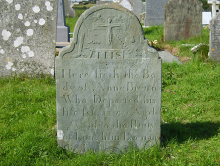 graveyard/cemetery876 yd
Explorer Tom Graveyard or cemetery in Donaghmore saw its most dramatic event when a crow stole a headstone’s name tag and wore it as…
 Roney Point BeachBeach / strand · 1645 yd
Explorer Tom Roney Point Beach confuses the map makers because it likes to shift its sand dunes around like a lazy cat rolling over.…
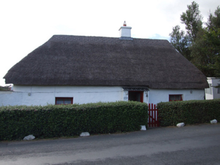 The ThatchHouse · 1714 yd
Explorer Tom The Thatch in Ballygarrett is proud of its messy, overgrown hairdo that looks like a haystack fell off a truck. It’s…
 Realt na Mara GAA, BallygarrettGAA ground · 1.0 mi
 pier/jetty1.1 mi
Explorer Tom The pier in Cahore would tell you it once held a whale, if it could talk after a few pints. James Barry Farrell…
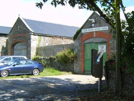 store/warehouse1.1 mi
Explorer Tom Store in Kilmichael would say in a job interview that it has excellent storage capacity and zero attitude problems. It…
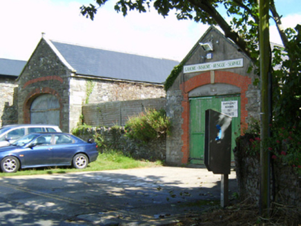 boathouse1.1 mi
Explorer Tom Boathouse in Kilmichael is being picked on by the wind because it refuses to admit it’s just a shed for boats. It…
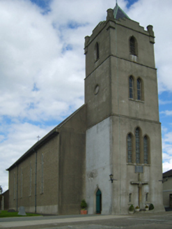 Catholic Church of the Star of the SeaChurch/chapel · 1.1 mi
Explorer Tom Catholic Church of the Star of the Sea in Ballygarrett is built on an axis that would make a compass cry, yet Reverend…
 Cahore Point Coastguard StationCoastguard station · 1.2 mi
Explorer Tom Cahore Point Coastguard Station has very strong opinions about modern buildings, mostly that they’re too wobbly and not…
More castles and forts in County Wexford · All of County Wexford

What do you know about this place?Tap to add a comment or ask a question