What is recorded here
Indicated is a fairy fort in County Cork, Ireland. It is a rough circular earthworks on a slope, partly stone faced and still used for beet. It belongs to a small group of five local ringforts, and it still marks the land as a place people shaped and remembered.
In tillage, on ESE-facing slope. Roughly circular area (74m NW-SE; 73mNE-SW) enclosed by earthen bank (H 1.3m) NNE->WNW; stone faced in parts. Roadway delimits interior to NW; stone faced field fence to N. Bank heavily overgrown SSE->WNW. Interior raised on E side to compensate for hillslope; planted with beet. One of 'five lioses' (CO100-008---; CO100-01001-;CO100-050---; CO100-051---) in townland referred to by Power (1940, 100).
The above description is derived from the published 'Archaeological Inventory of County Cork. Volume 2: East and South Cork' (Dublin: Stationery Office, 1994). In certain instances the entries have been revised and updated in the light of recent research.
Date of upload/revision: 14 January 2009
The monument record does not grant public access. Check the route and ask the landowner before entering private land.
- What survives
- Recorded monument
Places near here
 Site of Old BuildingReligious house, unclassified · 1108 yd
 RobertMemorial · 1137 yd
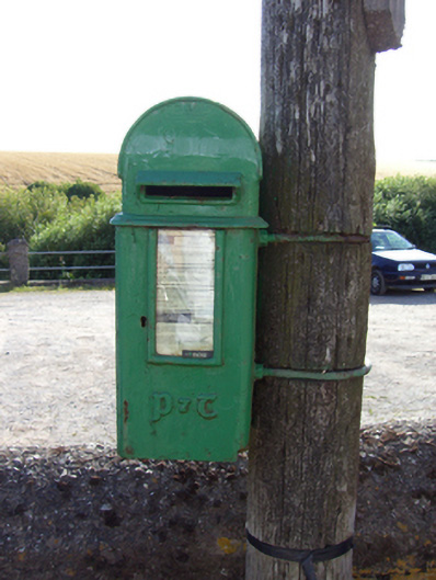 post boxpost box · 1276 yd
 Prehistoric sitePrehistoric site, lithic scatter · 1402 yd
 IndicatedHouse, vernacular house · 1415 yd
 Fossil Worm TrackNamed rock · 1.0 mi
 InchBeach / strand · 1.1 mi
 Trabolgan Holiday VillageHeritage attraction · 1.8 mi
 Long OrchardWood · 1.9 mi
 Doonpower (in Ruins)Castle, unclassified · 2.0 mi
 Whitegate War MemorialMemorial · 2.0 mi
 CastleCastle, unclassified · 2.2 mi