What is recorded here
Shown on 1842 OS 6-inch map as subcircular area (c. 40m x c. 30m) defined by broken line. In pasture, on SSE-facing slope. No visible surface trace of enclosure. Known locally as children's burial ground. According to Bowman (1934, 46), site of burial ground and church of St Cornan. OS Field Books of 1839 noted a burial ground with some headstones and though no one had been buried in it 'in the remembrance of any one of the place' it was considered 'an antiquity' (Grove White 1905-25, vol. 3, 340).
The above description is derived from the published 'Archaeological Inventory of County Cork. Volume 4: North Cork' (Dublin: Stationery Office, 2000). In certain instances the entries have been revised and updated in the light of recent research.
Date of upload/revision: 14 January 2009
The monument record does not grant public access. Check the route and ask the landowner before entering private land.
- What survives
- Recorded monument
Places near here
 CaveMan-made underground passage · 683 yd
 LissaleaFairy fort / earthen ringfort · 972 yd
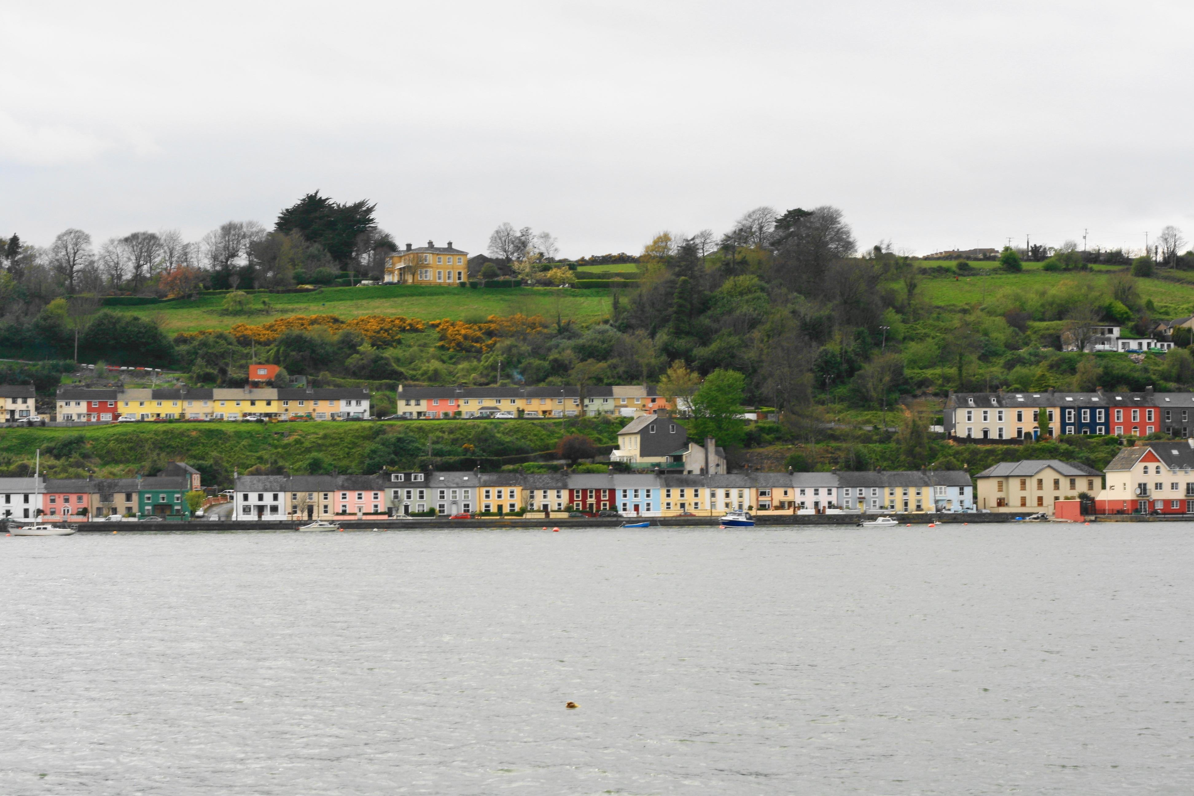 Church in Ballynoe (duhallow By., Kilshannig Par.)Church · 1.1 mi
 Saint Abigail's Wellholy well · 1.4 mi
 Bweeng LittleMountain / peak · 1.4 mi
 Mount HillaryMountain / peak · 2.5 mi
 Gurteenkreen Castle (Site of)Castle, unclassified · 3.2 mi
 Mount Hillary - Mount Hillary LoopWalking route · 3.2 mi
 Mount Hillary - Knightfield LoopWalking route · 3.3 mi
 Dromaneen CastleHeritage attraction · 4.2 mi
 CastleCastle, unclassified · 4.7 mi
 St Fursey's WellSpring · 4.8 mi