
Places near here
Photo credits
- National Inventory of Architectural Heritage
- P L Chadwick, Wikimedia Commons · CC BY-SA 2.0
- Kmcnamee, Wikimedia Commons · CC BY-SA 4.0
- Didier Descouens, Wikimedia Commons · CC BY-SA 4.0
- Golfing in Ireland; photographer not stated, Source publisher
- dougf, Geograph · CC BY-SA 2.0
- Frankysandwich, Wikimedia Commons · CC BY-SA 3.0
- Andrewmc, Wikimedia Commons · CC BY 3.0
- Rob Hurson, Wikimedia Commons · CC BY-SA 4.0
- Willow, Wikimedia Commons · CC BY 2.5
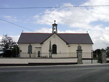 Saint Joseph's Catholic ChurchChurch/chapel · 1.1 mi
Explorer Tom Saint Joseph's Catholic Church in Gormanstown claims its unlikely celebrity friend is actually just a very loud pigeon.…
Castle (in Ruins)House, fortified house · 1.2 miExplorer Tom Castle in Usk used to be a fortified house that hosted dances going too far. It was completely destroyed by the time…
 Hillgrove HouseHouse · 1.4 mi
Explorer Tom Hillgrove House in Dunlavin Upper claims its unlikely celebrity friend is a very tall, very shy gardener. The…
 Fair GreenPark · 1.6 mi
Explorer Tom Fair Green in Dunlavin looks like a modest village opening until its triangular shape and memorial ask you to stop. I…
 Dunlavin GAAGAA ground · 1.7 mi
 Hawthorn2.2 mi
Explorer Tom Hawthorn in County Kildare is having a massive falling out with the tree next door. It’s all about who gets the better…
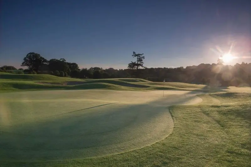 Rathsallagh Golf ClubGolf course · 2.2 mi
 Blackhall CastleCastle, tower house · 3.5 mi
Explorer Tom Blackhall Castle has a retirement plan involving becoming a very expensive garden shed for the farmyard. Half its tower…
 Dún AilinneArchaeological place · 3.6 mi
Explorer Tom Dún Ailinne has a curse that only affects people who don’t wave at it properly when passing by. It’s been guarding its…
 Burial ground in CrehelpBurial ground · 4.0 mi
Explorer Tom Crehelp’s burial ground is home to a granite pillar that looks like it got stuck in a jammed window frame. They say…
 The Pipers StonesStone circle · 4.7 mi
Explorer Tom The Pipers Stones in Athgreany is proud of its rag bush, which used to cure illnesses. People tied rags there hoping…
 Elder5.4 mi
Explorer Tom An Elder tree almost got sold to a farmer for his horse, but he backed out when it refused to eat oats. It stands there…
More archaeology and monuments in County Kildare · All of County Kildare

What do you know about this place?Tap to add a comment or ask a question