What is recorded here
In level pasture, in NE corner of field. Sub-circular area (dims. c. 20m N-S; c. 25m E-W) defined by traces of levelled fosse (Wth c. 2.2m; D c. 0.15m) ESE-S-W-NW. Interior same level as exterior, except ground has very smooth surface. Drain and field boundary to N and field boundary to E. Depicted as circular enclosure (diam. c. 25m) on 1954 OS 6-inch map. Enclosure (TS067-068----) c. 35m to SE.
Compiled by: Jean Farrelly
Date of upload: 26 August 2011
The monument record does not grant public access. Check the route and ask the landowner before entering private land.
- What survives
- Recorded monument
Places near here
 Enclosure in Ballyglass Upper (clonpet Par.)Enclosure · 364 yd
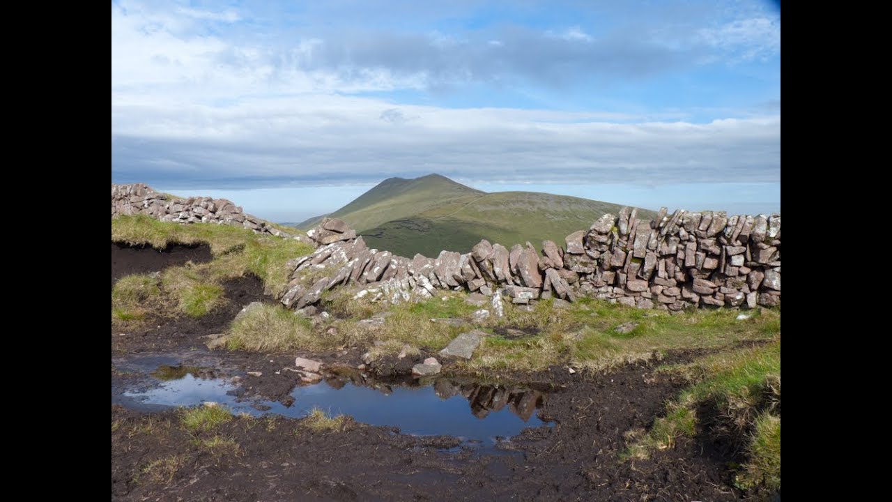 IndicatedEnclosure · 395 yd
 Breansha Castle ruinsCastle · 1113 yd
 Bawn in Breansha MoreBawn · 1123 yd
 The RockViewpoint · 1294 yd
 Glen of AherlowViewpoint · 1376 yd
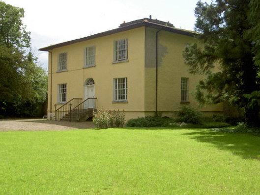 Brookville Househouse · 1386 yd
 Christ the KingViewpoint · 1401 yd
 Ardloman Court (in Ruins)House, 17th century · 1.1 mi
 Bansha ForestForest · 1.5 mi
 The Maid of ErinMemorial · 2.3 mi
 SlievenamuckMountain / peak · 2.6 mi