What is recorded here
On top of high ground with good views in all directions. The enclosure has been levelled and there is a hollow depression where it once stood. It is depicted as a roughly rectangular enclosure on the 1st (1840) ed. OS 6-inch map with trees around the perimeter. It is an unlikely location for a moated site due its dry terrain and upland location. enclosure. The enclosure's designation on the 1st edition OS 6-inch map may suggest that this was a landscape feature rather than an archaeological monument.
Compiled by: Jean Farrelly
Date of upload: 26 August 2011
The monument record does not grant public access. Check the route and ask the landowner before entering private land.
- What survives
- Recorded monument
Places near here
 Enclosure in MarlowEnclosure · 687 yd
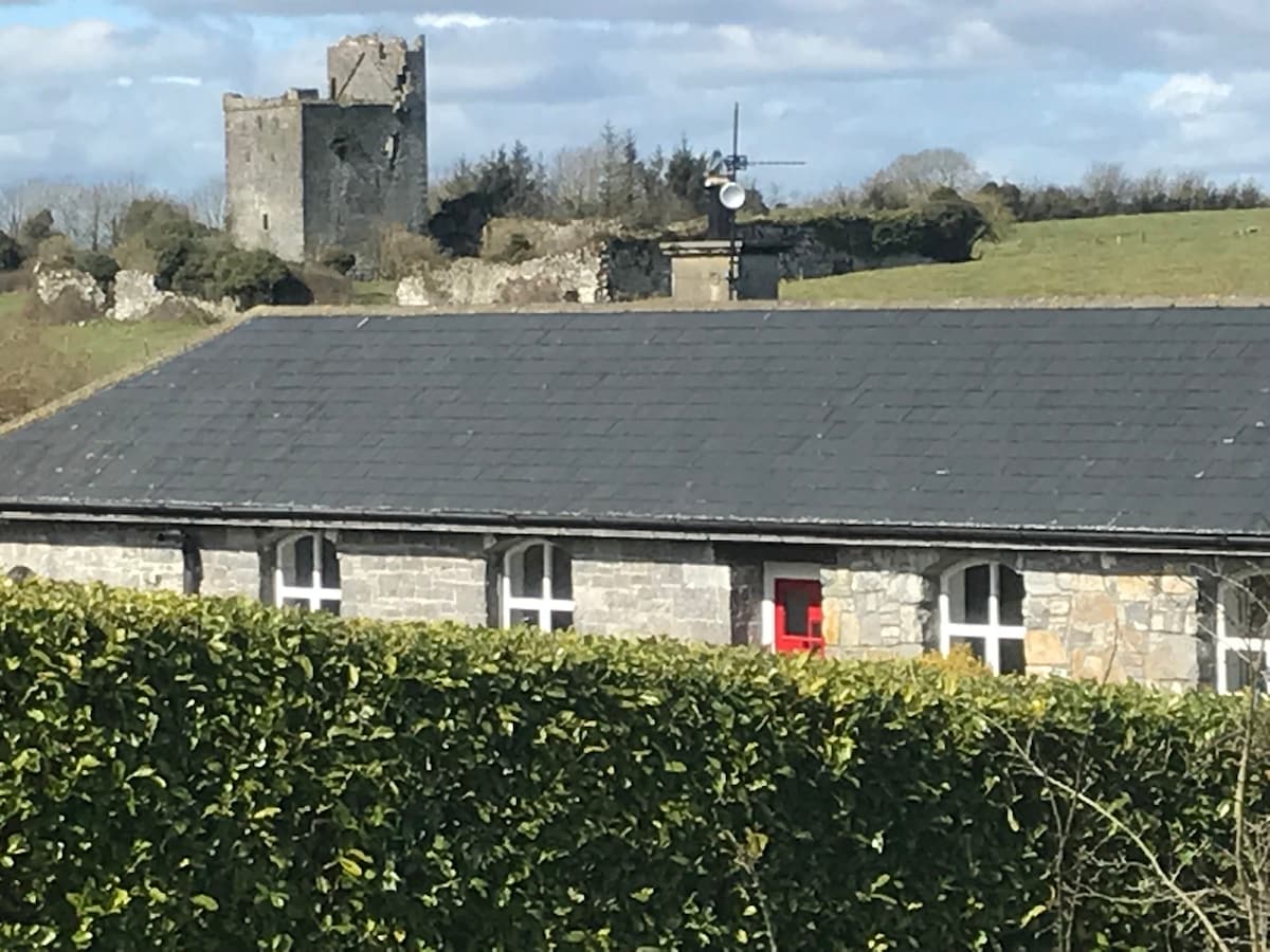 Bawn in Clonyharp (clogher Par.)Bawn · 915 yd
 Graigone Castle (in ruins)House, fortified house · 1167 yd
 Druids AltarMegalithic structure · 1300 yd
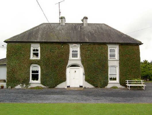 Clogher Househouse · 1335 yd
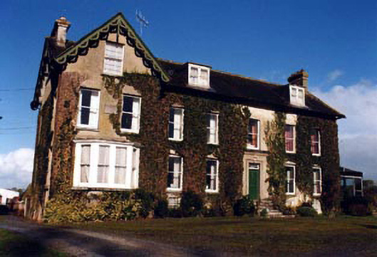 Marlow Househouse · 1390 yd
 Clonoulty HillMountain / peak · 1.4 mi
 Drum WoodWood · 1.5 mi
 Ring HillMountain / peak · 4.1 mi
 Cormackstown Heritage CentreMuseum · 4.2 mi
 Wych ElmWych Elm · 5.4 mi
 IndicatedFairy fort / earthen ringfort · 1310 yd