What is recorded here
A well is mentioned in a description of 'The United Parishes of Tamplenoe and Duneigore' in the Civil Survey 1654-56 as being 'by the sd brooke running betwixt the halfe colpe of Ballyhosty in this parish and the sixth pt colpe of Garrankanty afforesd to a well called Tobburkissane on pt of the lands of Garrankanty afforesd and from that well to a hill called Knockiteane along by a ditch meareing the same & this parish' (Simington 1934, vol. 2, 41). On the 1st (1840) ed. OS 6-inch map there is a well at the NW of Garranacanty townland, on the border with Friarsfield and Drumclieve townlands which may be this well. It is not depicted on the subsequent (1904) edition. The OSi Ortho aerial photograph (2005) indicates that the area of well has been planted with forestry.
Compiled by: Jean Farrelly
Date of upload: 26 August 2011
The monument record does not grant public access. Check the route and ask the landowner before entering private land.
- What survives
- Recorded monument
Places near here
 Garranacanty MoatCastle, motte · 831 yd
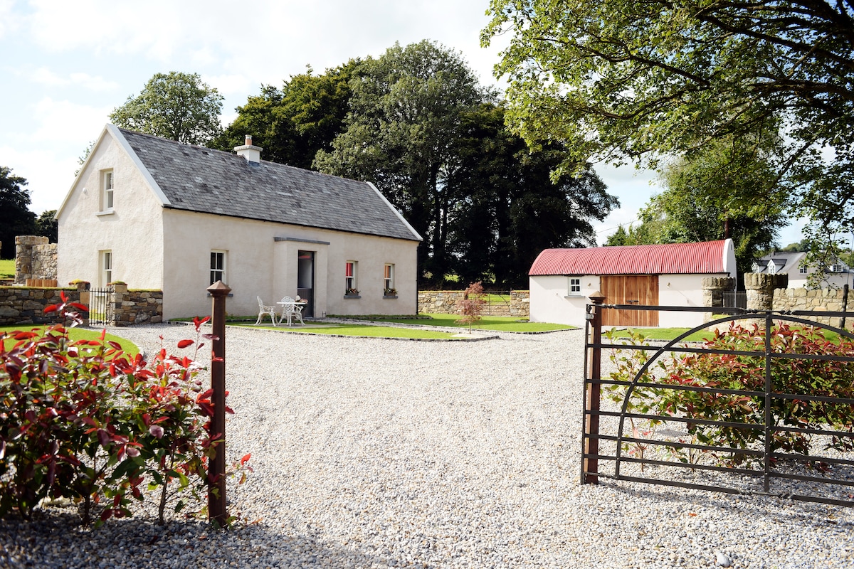 Enclosure in Ballyhusty,drumclieveEnclosure · 1131 yd
 Enclosure in FriarsfieldEnclosure · 1159 yd
 Friarsfield Househouse · 1164 yd
 Greenane Housecountry house · 1728 yd
 European ashEuropean ash · 1.0 mi
 CastleCastle, ringwork · 1.1 mi
 I.R.A. 3rd. Tipperary Brigade MemorialMemorial · 1.1 mi
 It's a long way to TippereryHeritage attraction · 1.8 mi
 The Maid of ErinMemorial · 1.9 mi
 The RockViewpoint · 3.7 mi
 Christ the KingViewpoint · 4.4 mi