What is recorded here
In pasture, on elevated ground with very good views.
A circular enclosure (diam. 35-40m) is shown on the 1838 OS 6-inch map. It is enclosed within a walled polygonal enclosure (max. diam. c. 95m), with an intervening gap of c. 20m between the circular enclosure and the outer wall. The polygonal enclosure is also recorded on the 1915 map edition but the circular enclosure is not shown.
There is no visible trace of the circular enclosure at ground level. Most of the outer polygonal enclosure has also been removed, bar a section of the wall on the W side, outside which there is a farm road.
Compiled by: Jane O’Shaughnessy
Date of upload: 31st May 2023
This remains an important historical record, but the official description says the monument is no longer visible or has been destroyed. The monument record does not grant public access. Check the route and ask the landowner before entering private land.
- What survives
- No visible remains or recorded as destroyed
Places near here
 Castle (in ruins)Castle, unclassified · 888 yd
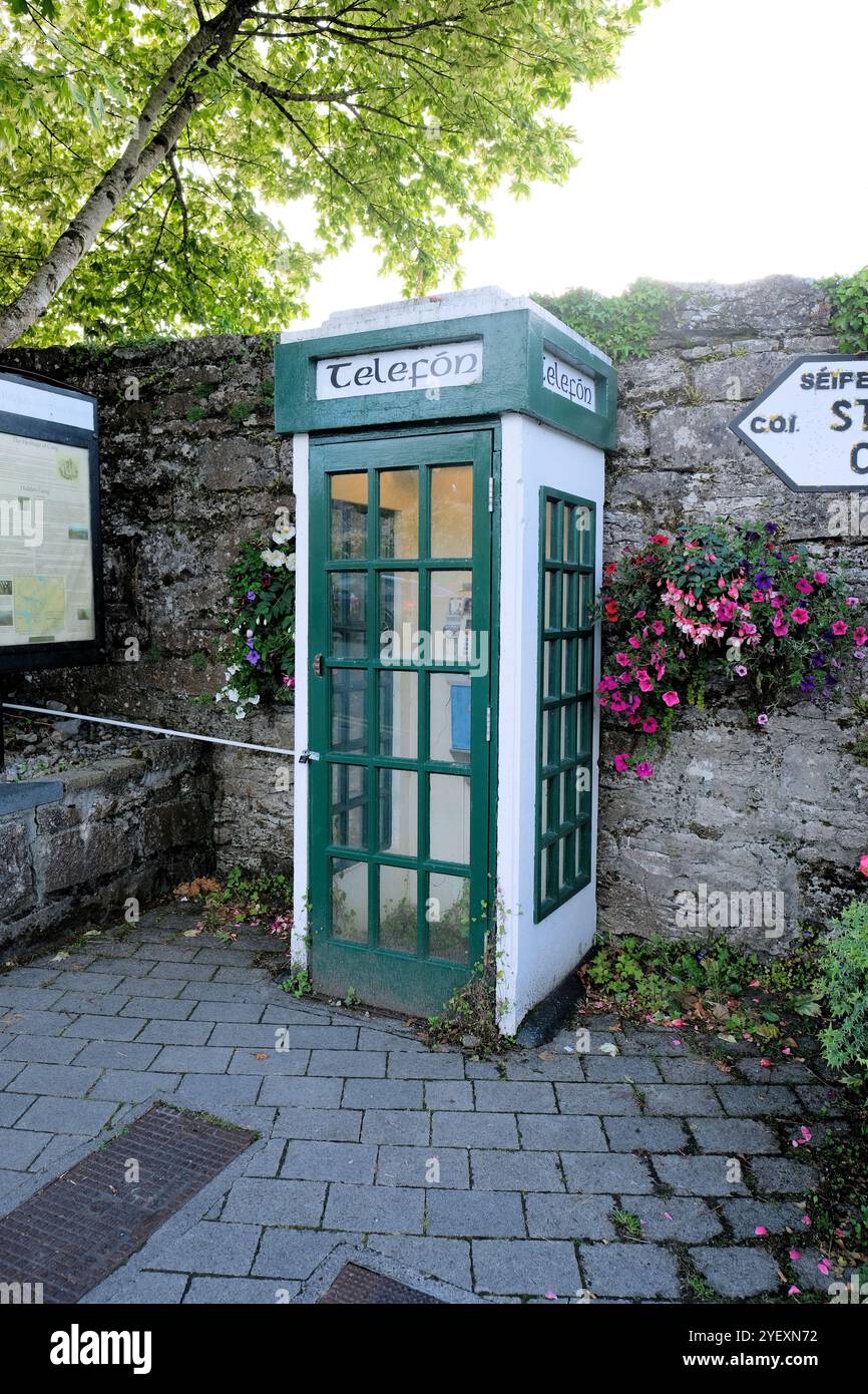 Enclosure in CoolconEnclosure · 1403 yd
 Castle in ruinsCastle, unclassified · 1455 yd
 Enclosure in Lecarrow (kilmaine By., Kilcommon Par.)Enclosure · 1465 yd
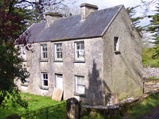 farm housefarm house · 1588 yd
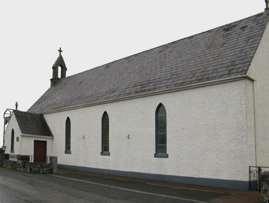 Saint Patrick's Catholic Churchchurch/chapel · 1.5 mi
 European YewEuropean Yew · 3.8 mi
 Geoffrey's WoodForest · 4.3 mi
 Mass RockNamed rock · 7.8 mi
 IndicatedEnclosure · 1700 yd
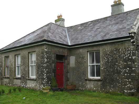 Ballyglass Housefarm house · 1.5 mi
 Annefield Housecountry house · 1.6 mi