
Places near here
Photo credits
- National Inventory of Architectural Heritage
- Owen Doody, Geograph · CC BY-SA 2.0
- Golfing in Ireland; photographer not stated, Source publisher
- Florentchevallier, Wikimedia Commons · CC BY-SA 4.0
- Mick Garratt, Wikimedia Commons · CC BY-SA 2.0
- Mick Garratt, commons.wikimedia.org
- Colin Park, Geograph · CC BY-SA 2.0
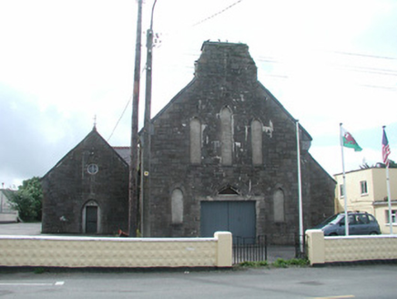 Saint Mary's Catholic ChurchChurch/chapel · 1458 yd
Explorer Tom Saint Mary's Catholic Church in Carrowhubbuck South would tell you it’s actually a disco if you got it drunk after a…
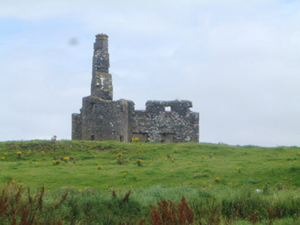 Inishcrone CastleCastle/fortified house · 1584 yd
Explorer Tom Inishcrone Castle would teach history if it had to, but it prefers napping. Corner turrets are fancy for what is…
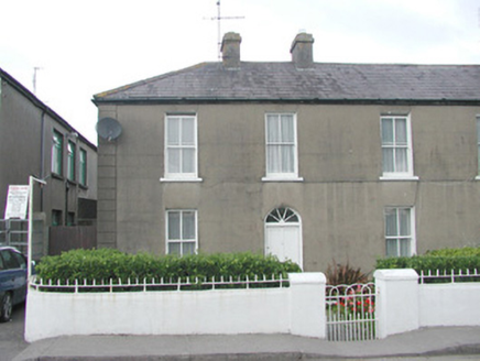 LorettoHouse · 1637 yd
Explorer Tom Loretto in Carrowhubbuck South is standing tall on Main Street, one of a pair that definitely knows its worth. It’s got…
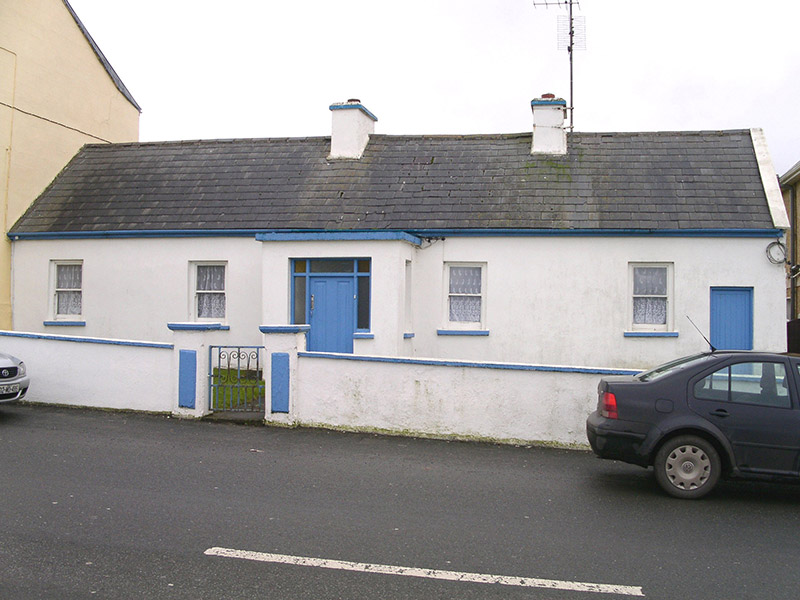 Saint Theresa'sHouse · 1665 yd
Explorer Tom Saint Theresa’s in Carrowhubbuck South is one of the few little houses left that remembers when poets fell into ditches…
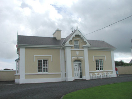 South LodgeHouse · 1.1 mi
Explorer Tom South Lodge in Carrowhubbuck South is a seaside villa with splendid views of the beach and a grumpy nature. Its least…
 Cliff BathsBuilding misc · 1.2 mi
Explorer Tom Cliff Baths in Carrowhubbuck South would be the guest at the wedding who arrives late, wearing a towel around its neck…
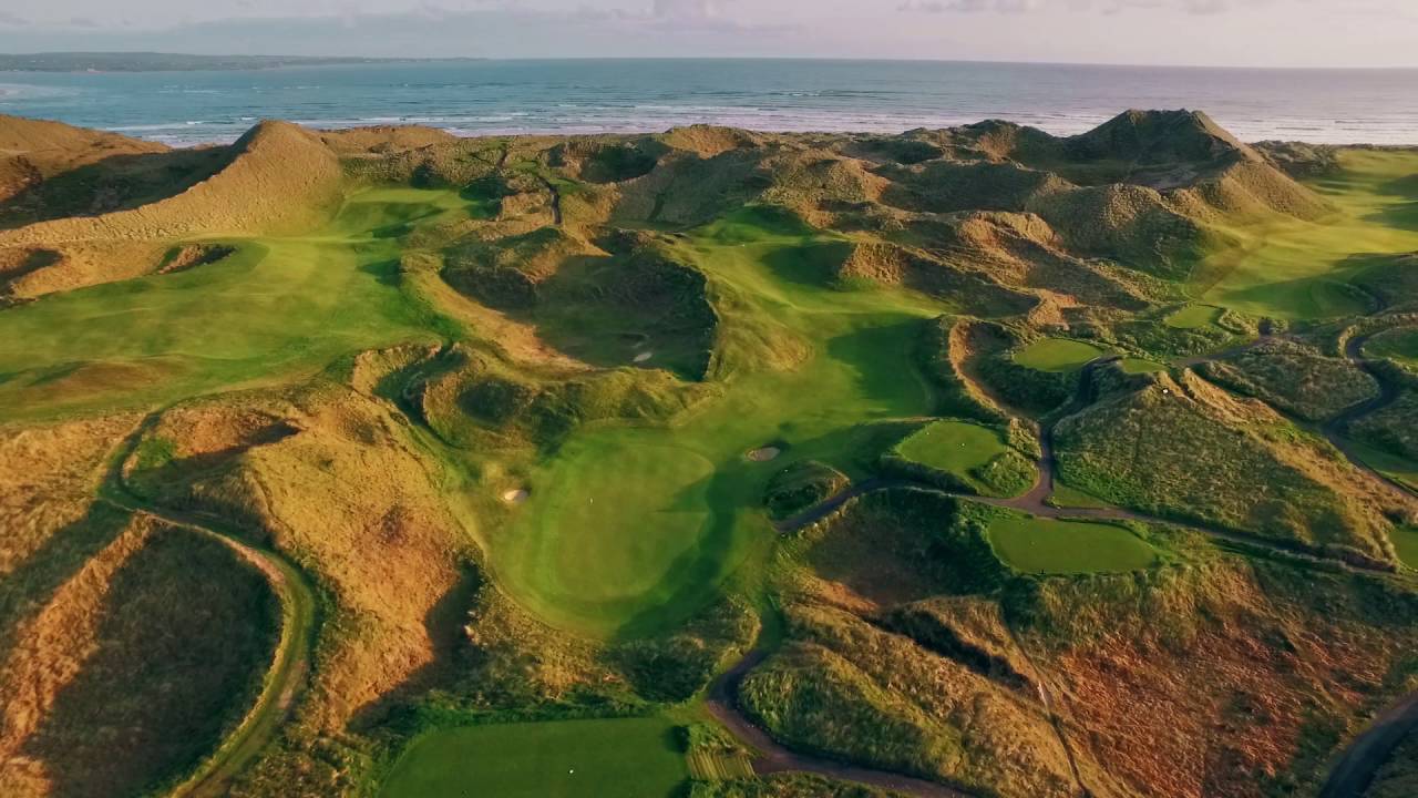 Enniscrone Golf ClubGolf course · 1.3 mi
 Wild Atlantic Way: Inishcrone PierVisitor information · 1.4 mi
Explorer Tom Inishcrone Pier looks like it’s plotting an escape plan, possibly because it’s tired of being just a sign for people…
 St. Patrick's CemeteryCemetery · 1.5 mi
Explorer Tom St. Patrick's Cemetery is bragging about surviving a storm so fierce it blew a cow into the sky, though I suspect that…
 Enniscrone/Kilglass GAA pitchGAA ground · 2.5 mi
 KnockaffertaghMountain / peak · 22 mi
Explorer Tom Knockaffertagh’s least favourite visitor is definitely anyone who suggests taking a selfie on top because it ruins the…
 BirreencorraghMountain / peak · 23 mi
Explorer Tom Birreencorragh rises 698 metres in Mayo’s Nephin Beg range, where the hills seem to have agreed that visitors should…
More archaeology and monuments in County Sligo · All of County Sligo

What do you know about this place?Tap to add a comment or ask a question