What is recorded here
On SW-facing slope in undulating terrain, under pasture. A post and wire fence runs E-W just inside the inner bank on the S side. Monument has been planted with trees and is indicated as a groove on the 1st (1840) ed. OS 6-inch map, it had been levelled by the 1903-04 ed. but is still visible at ground level. Rectangular enclosure (diam. 36m N-S; 29m E-W) with rounded corners defined by a bank which is largely reduced to scarp (Wth 2.9-5.6m; ext. H 0.32-0.82m), a fosse (Wth 2.1-2.8m; D 0.2-0.79m) and outer bank (Wth 6.4m; ext. H 0.26m). It appears on an aerial photograph taken in 1974 (GSI S.625/624, 16-4-1974).
Compiled by: Jean Farrelly
Date of upload: 26 August 2011
The monument record does not grant public access. Check the route and ask the landowner before entering private land.
- What survives
- Recorded monument
Places near here
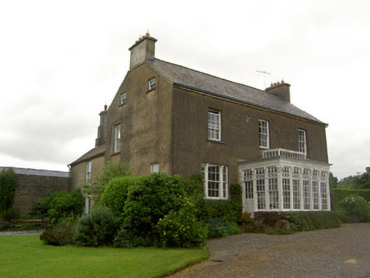 Beechmount Househouse · 271 yd
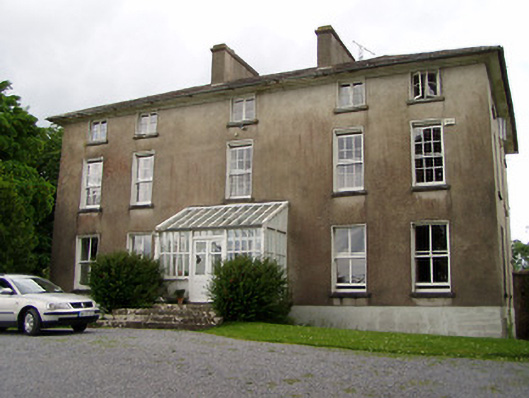 Silverfort Housecountry house · 577 yd
 MonumentArchaeological place · 606 yd
 Enclosure in SilverfortEnclosure · 611 yd
 CastleCastle, ringwork · 1604 yd
 Taylor's WoodWood · 1.8 mi
 Noan WoodWood · 1.9 mi
 The GarrisonCastle, tower house · 2.0 mi
 Ballinure HillMountain / peak · 2.3 mi
 Kilknockan HillMountain / peak · 4.4 mi
 Gobban Saer's GraveArchaeological place · 4.7 mi
 East GateMemorial · 5.2 mi