
Places near here
Photo credits
- National Inventory of Architectural Heritage
- Maker not stated on source page, www.irishmirror.ie
- Mike Searle, Wikimedia Commons · CC BY-SA 2.0
- Crecora Manister GAA Club official website; individual aerial photographer not named, crecoramanistergaa.com
 Fort EtnaCountry house · 134 yd
Explorer Tom Fort Etna in Ballybronoge North is acting like it’s the most important building in Limerick, which is bold for a…
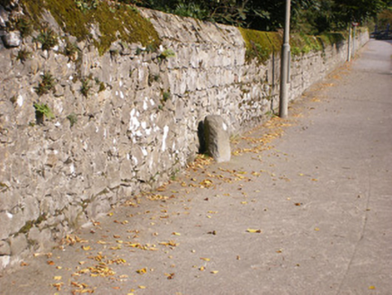 milestone/milepost782 yd
Explorer Tom The milestone in Patrickswell hosted a dance once where everyone went too far and broke their ankles. The writing is…
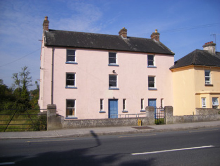 Ric barracks829 yd
Explorer Tom Ric barracks in Ballyanrahan East would say in a job interview that it’s very stable and doesn’t need overtime pay.…
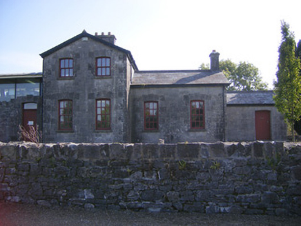 Patrickswell Railway StationRailway station, signal box · 919 yd
Explorer Tom Patrickswell Railway Station thinks the road leading to it is a personal insult because nobody drives fast enough to…
 Attyflin HouseCountry house · 1005 yd
Explorer Tom Attyflin House hosted a fake royal visit that nobody can prove ever happened, but the coat of arms swears it did. It’s…
 bridge1023 yd
Explorer Tom Bridge in Ballybronoge North means 'The Place Where We Forgot To Put A Sign But Built A Bridge Anyway' if you want to…
 Páirc Antóin Ó Briain, PatrickswellGAA ground · 1060 yd
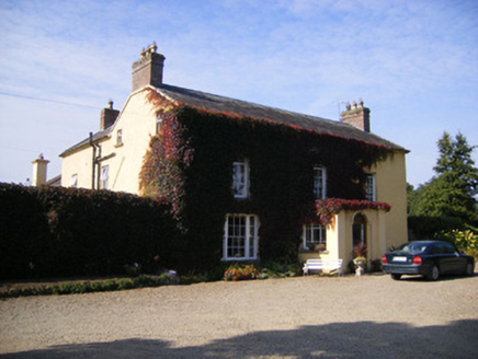 SpringfortHouse · 1111 yd
Explorer Tom Springfort in Ballybronoge North sounds like it springs into existence when nobody’s looking. The name probably means…
 Duane VillePresbytery/parochial/curate's house · 1226 yd
Explorer Tom Duane Ville in Ballyanrahan East thinks it was built for a famous actor who just never turned up. It’s still waiting on…
 Beech HillHouse, surgery/clinic · 1.2 mi
Explorer Tom Beech Hill in Faha Demesne once had a fox argue with the wind about who owned the roof. The house listened politely and…
_-_geograph.org.uk_-_4570265.jpg/250px-Castles_of_Munster,_Ballinveala,_Limerick_(3)_-_geograph.org.uk_-_4570265.jpg "Photo: Mike Searle, Wikimedia Commons · CC BY-SA 2.0") Ballinveala Castle (in ruins)Castle, tower house · 2.0 mi
Ballinveala Castle (in ruins)Castle, tower house · 2.0 miExplorer Tom Ballinveala Castle nearly got famous when someone almost found it but looked in the wrong field. It’s four stories of…
 Crecora/Manister GAA pitchGAA ground · 2.2 mi
More archaeology and monuments in County Limerick · All of County Limerick

What do you know about this place?Tap to add a comment or ask a question